IndieMapper is an open source, offline-capable web map editor tailored for field mappers and humanitarians. It allows collecting, editing, analyzing and exporting geographic data.
Offline-capable web map editor for field mappers and humanitarians, allowing data collection, editing, analysis, and export.
What is Indiemapper?
IndieMapper is an open source, offline-capable web map editor tailored for field mappers and humanitarians. It provides an intuitive and easy-to-use interface for collecting, editing, analyzing and exporting geographic data without an internet connection.
Some key features of IndieMapper include:
Works completely offline for areas with limited connectivity
OpenStreetMap-based base maps with global coverage
Ability to import and export data in various formats like GeoJSON, CSV, GPX
Powerful editing tools for points, lines and polygons
Measurement tools for distance and area calculation
Data validation rules to maintain data quality
User access control and data encryption for security
Lightweight and customizable to run on low-spec hardware
IndieMapper is designed for humanitarian field workers, community mappers, researchers and anyone working with geographic information in remote areas without reliable internet connectivity. The software is free and open source to facilitate accessible mapping for social good.
Indiemapper Features
Features
Offline-capable web map editor
Allows collecting, editing, analyzing and exporting geographic data
Map Chart is a powerful yet easy-to-use data visualization software designed specifically for creating customized maps. It enables users to visualize various datasets tied to geographic locations on insightful choropleth, bubble and marker maps.The software provides a drag-and-drop interface to map any data across countries, states, regions, postal codes and...
Mapbox Studio is a powerful desktop application for designing custom map styles. It provides a graphical user interface that allows you to visually style vector tiles created with Mapbox tools and services.Some key features of Mapbox Studio include:Import vector tilesets created with Mapbox tools like Mapbox Streets and SatelliteStyle map...
CartoDB is an open source platform for building location intelligence applications. It provides capabilities for spatial data storage, visualization, analysis, and publishing. Key features include:User-friendly drag and drop interface for creating interactive maps and dashboardsVisualization of geospatial datasets such as points, lines, and polygonsOptions for customizing maps with different basemaps,...
Mapotic is an open-source, self-hosted alternative to Mapbox that provides developers and designers with tools for creating interactive maps. Some key features of Mapotic include:Ability to design custom base maps with Mapnik and CartoCSSSupport for overlaying vector and raster map tiles from various sourcesTools for visualizing, analyzing, and processing geospatial...
Map3 is a versatile mind mapping and brainstorming software used to visually organize ideas, concepts, notes, and tasks. With Map3, users can create flexible and free-flowing maps to connect thoughts and information.Some key features and capabilities of Map3 include:Tree, org chart, flowchart map views to structure informationTagging and searching maps...
Paintmaps.com is a free online painting application that runs directly in your web browser. It allows users to create digital drawings and paintings using a range of brushes, colors, layers, and other tools.Some key features of Paintmaps.com include:Intuitive canvas interface for drawing and paintingVariety of brush types including pencils, pens,...
Google Maps Engine is a cloud-based mapping platform launched by Google in 2012. It allows users to store, visualize and share geographic data by creating custom maps.Some key features of Google Maps Engine include:Ability to upload spreadsheet data, KML files, geoJSON files to create layers on a mapConnect to external...
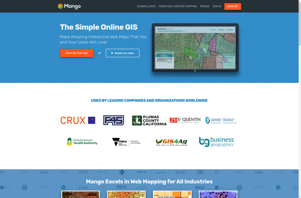
MangoMap is an intuitive yet powerful online mind mapping and brainstorming software. It enables individuals and teams to visually organize ideas, concepts, notes, tasks, and more into flexible and customizable maps.Key features of MangoMap include:Simple and easy-to-use interface - No need for training, anyone can start creating maps right awayReal-time...
Mapline is an open-source, self-hosted web application that allows users to create custom maps for free. It is an alternative to proprietary services like Google My Maps.Some key features of Mapline include:Ability to add markers, lines, shapes, and text notes to your mapsSupport for multiple layers on a single mapOptions...
MapTiler Cloud is a cloud-based solution that allows users to create, style, optimize and deliver map tiles for web and mobile applications. Some key features include:Upload your own geospatial data like satellite/aerial imagery, DEMs, shapefiles, KMLs etc.Tiling engine that efficiently slices geospatial data into map tiles for zoom levelsMap styling...