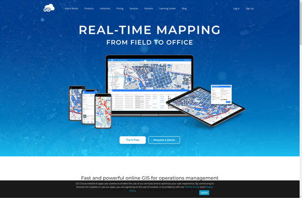
GIS Cloud is a cloud-based geographic information system (GIS) software for creating, editing, analyzing, and publishing geospatial data. It can be used to make maps, perform spatial analysis, create interactive web apps, and share location intelligence.
GIS Cloud: Cloud-Based GIS Software for Creating Geospatial Data
GIS Cloud is a cloud-based geographic information system (GIS) software for creating, editing, analyzing, and publishing geospatial data. It can be used to make maps, perform spatial analysis, create interactive web apps, and share location intelligence.
What is GIS Cloud?
GIS Cloud is a feature-rich, cloud-based geographic information system (GIS) software designed for organizations of all sizes. It enables users to easily create, edit, analyze, and publish geospatial data through an intuitive web interface and mobile apps.
Key capabilities and benefits of GIS Cloud include:
Interactive web map building with access to global basemaps and the ability to upload your own data
Powerful data editing and geometry tools for creating and maintaining accurate geospatial datasets
Spatial analysis functions such as geocoding, routing, heatmap generation, and more
Options for creating fully customizable location intelligence apps and dashboards
Collaboration capabilities for team editing, commenting, and sharing of projects
Flexible user management, permission settings, and administrative controls
Secure cloud hosting with high availability, scalability, and reliability
Mobile data collection apps for iOS and Android for in-field surveying
APIs and integrations with other platforms and databases
Affordable pricing tailored for teams of all sizes
Overall, GIS Cloud delivers robust, enterprise-grade GIS functionality through the cloud at a fraction of the cost of traditional desktop GIS software. Its ease of use, collaborative features, and web deployment capabilities make it an ideal choice for organizations looking to unlock the power of location intelligence.
GIS Cloud Features
Features
Web-based platform - accessible from any device with a browser
Real-time collaboration - allows multiple users to edit maps simultaneously
Variety of basemaps and datasets
Powerful and intuitive drawing and editing tools
Geocoding and reverse geocoding
Spatial analysis tools
Customizable web apps and dashboards
Integration with drones, IoT sensors and other data sources
QGIS is a professional open-source Geographic Information System (GIS) software for working with maps and geospatial data. It is licensed under the GNU Public License. QGIS allows you to view, edit, analyze, process, and visualize spatial data in various formats including shapefiles, GeoTIFFs, PostGIS, SpatiaLite, GPX, and more. It supports...
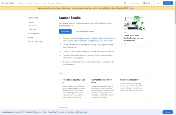
Looker Studio is a business intelligence and analytics platform designed to help companies analyze data and gain valuable insights. It provides an intuitive, web-based interface that enables users without technical skills to explore, visualize and share data easily.Some key capabilities and benefits of Looker Studio include:Interactive dashboards - Users can...
ArcGIS is a robust and comprehensive geographic information system (GIS) software developed by Esri. It provides a range of capabilities for creating, managing, analyzing, and sharing geospatial data and maps across desktop, mobile, web, and enterprise systems.Key features of ArcGIS include:Advanced geospatial analysis tools for proximity analysis, geocoding, routing, terrain...
SuperGIS is a comprehensive geographic information system (GIS) software developed by SuperMap. It provides a wide range of capabilities for working with maps and geographic data including:Data Capture and Management - SuperGIS can import, manage and analyze spatial data from various sources. It supports vector, raster, CAD, databases, lidar, BIM...
Google Fusion Tables is a cloud-based service designed for working with structured data. It allows users to upload, host, manage, share, visualize and collaborate on tabular datasets. Some of the key features of Google Fusion Tables include:Data importing from various formats like CSV, KML, spreadsheetsData exporting to formats like CSV...
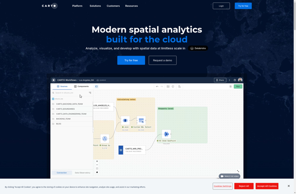
CartoDB is an open source platform for building location intelligence applications. It provides capabilities for spatial data storage, visualization, analysis, and publishing. Key features include:User-friendly drag and drop interface for creating interactive maps and dashboardsVisualization of geospatial datasets such as points, lines, and polygonsOptions for customizing maps with different basemaps,...
OpenGeo Suite is a comprehensive open source geospatial software stack used for building spatial data infrastructures and deploying web mapping applications. It brings together key open source geospatial components like PostGIS, GeoServer, GeoWebCache, and GeoExplorer into a single integrated suite.Some key capabilities and features of OpenGeo Suite include:PostGIS for spatial...
Snapboard is an online visual collaboration software used by teams for brainstorming, organizing workflows, managing projects, and more. It provides an infinite virtual whiteboard where users can add sticky notes, images, freehand drawings, and diagrams to capture ideas and map out plans.Key features of Snapboard include:Infinite canvas for adding unlimited...
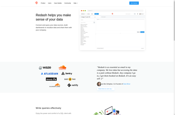
Redash is an open-source business intelligence and data visualization web application. It allows users to connect to multiple data sources including SQL databases, query and visualize the data, and create interactive dashboards to share insights.Some key features of Redash:Connect to data sources like PostgreSQL, MySQL, SQL Server, Redshift, BigQuery and...
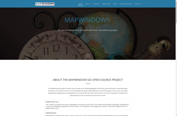
MapWindow GIS is a free and open-source geographic information system (GIS) software developed by Idaho State University. It allows users to view, manage, edit, analyze, and visualize spatial data for a wide range of applications. Some key features of MapWindow GIS include:Support for common data formats like shapefiles, rasters, .Net...
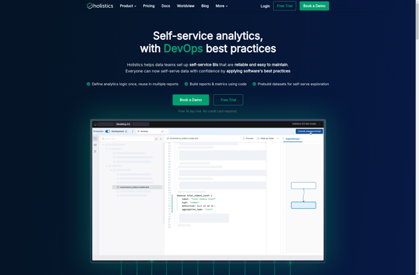
Holistics is an AI-powered unified data platform designed to help companies build and manage their data infrastructure. It provides an intuitive interface for data teams to ingest, prepare, analyze, and visualize data from diverse sources.Key capabilities include:Smart data collection and ingestion from databases, cloud apps, APIs etc.Automated data mapping, cleansing,...
Equator is a cloud-based digital asset management (DAM) and brand management platform used by global companies to easily manage their digital assets. It enables teams to efficiently organize, distribute, collaborate on, and track usage of brand assets from one central place.Key features of Equator include:Cloud-based storage for all digital assetsPowerful...
GRASS GIS (Geographic Resources Analysis Support System) is a free and open source geographic information system (GIS) software suite used for geospatial data management, analysis, graphics and maps production, spatial modeling, and visualization.Some key features of GRASS GIS include:Powerful raster, vector, and geospatial processing tools for analysis and data conversionAbility...
Mapline is an open-source, self-hosted web application that allows users to create custom maps for free. It is an alternative to proprietary services like Google My Maps.Some key features of Mapline include:Ability to add markers, lines, shapes, and text notes to your mapsSupport for multiple layers on a single mapOptions...
Maptitude is a desktop Geographic Information System (GIS) software developed by Caliper Corporation. It provides tools for creating interactive maps, performing spatial analysis, managing geographic data, and generating reports.Key features of Maptitude include:Interactive mapping - Allows users to create professional-quality maps with layers, labels, scale bars, north arrows, etc.Data visualization...
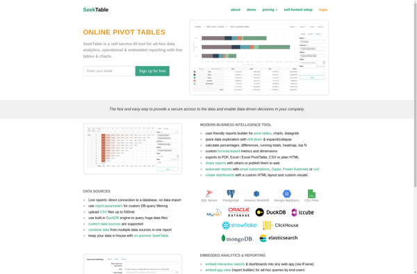
SeekTable is a browser extension and web app that helps you navigate websites more efficiently. It works by outlining tables, charts, and graphs on web pages so you can easily scan, search, and summarize data.Once installed, SeekTable will detect tables, charts, and graphs on a web page and draw red...
Bime is a flexible business intelligence and analytics platform suitable for modern data teams. It provides an easy way to connect to various data sources like databases, cloud apps, and business software to build interactive dashboards, reports, and analytics.Some key capabilities and benefits of Bime include:Intuitive drag-and-drop interface to visualize...