Mapserver is an open source platform for publishing spatial data and interactive mapping applications to the web. It enables users to quickly build web mapping applications that leverage data from PostgreSQL/PostGIS, GeoJSON, and other sources.
Mapserver: Open Source Platform for Interactive Web Mapping
Mapserver enables users to build web mapping applications leveraging data from PostgreSQL/PostGIS, GeoJSON, and other sources.
What is Mapserver?
Mapserver is an open source geographic data rendering engine written in C. It allows users to publish spatial data and build interactive web mapping applications without the need for desktop GIS software. Mapserver excels at rendering spatial data and creating high-performance interactive maps that can be accessed via web browsers.
Some key capabilities and features of Mapserver include:
Rendering vector and raster spatial data from PostGIS, Shapefiles, GeoTIFFs, and other formats
Support for popular standards like WMS, WFS, WCS, SLD, GML, and GeoJSON
High performance and scalability to handle large datasets and many concurrent users
Extensive cartographic styling and symbology options
Ability to build custom web mapping applications that interface with PostgreSQL/PostGIS databases
Flexible architecture that can be extended via plugins and interfaces with other applications
Open source software that runs on Linux, Windows, and other platforms
Mapserver is commonly used to create interactive web maps, OGC web services, spatial data infrastructures, and geospatial web services. It powers many popular open source web GIS solutions and is known for its versatility in handling various geospatial data formats.
Mapserver Features
Features
Publish spatial data and interactive maps on the web
Support for common data formats like PostGIS, GeoJSON, Shapefiles
Customizable map rendering with support for styling, labeling, symbology
OGC standards compliance for WMS, WFS, WCS
Scriptable using Python, PHP, Perl, Ruby, Java, and .NET
Extensible architecture for customization and integration
Pricing
Open Source
Pros
Open source and free
High performance and scalability
Cross-platform and works with major web servers
Supports wide range of spatial data formats
Active development community
Cons
Steep learning curve
Less user friendly compared to commercial alternatives
MapInfo Professional is a desktop geographic information system (GIS) software developed by Pitney Bowes for working with location-based data. It allows users to visualize, analyze, compile, and distribute spatial data.Key features of MapInfo Professional include:Interactive mapping - Easily create professional maps with layers, labels, scales, legends etc.Spatial analysis - Perform...
Mapbox Studio is a powerful desktop application for designing custom map styles. It provides a graphical user interface that allows you to visually style vector tiles created with Mapbox tools and services.Some key features of Mapbox Studio include:Import vector tilesets created with Mapbox tools like Mapbox Streets and SatelliteStyle map...
ArcGIS is a robust and comprehensive geographic information system (GIS) software developed by Esri. It provides a range of capabilities for creating, managing, analyzing, and sharing geospatial data and maps across desktop, mobile, web, and enterprise systems.Key features of ArcGIS include:Advanced geospatial analysis tools for proximity analysis, geocoding, routing, terrain...
SAGA GIS (System for Automated Geoscientific Analyses) is a free and open source geographic information system (GIS) software used for editing and analyzing spatial data. It contains a large set of geoscientific analysis functions and utilities for managing vector, raster and table data.Some key features of SAGA GIS include:Support for...
OpenGeo Suite is a comprehensive open source geospatial software stack used for building spatial data infrastructures and deploying web mapping applications. It brings together key open source geospatial components like PostGIS, GeoServer, GeoWebCache, and GeoExplorer into a single integrated suite.Some key capabilities and features of OpenGeo Suite include:PostGIS for spatial...
Felt is an open-source web-based application for kanban-style project management and task tracking. It provides a visual interface for organizing tasks into pipelines represented as boards, lists, and cards.Some key features of Felt include:Boards to organize projects and track progress across different stagesCustom lists within each board to categorize tasks...
GeoServer is an open source server for sharing geospatial data. It is the reference implementation of the Open Geospatial Consortium (OGC) Web Feature Service (WFS) and Web Coverage Service (WCS) standards, as well as a high performance certified compliant Web Map Service (WMS). GeoServer forms a core component of the...
gvSIG Desktop is a free and open source geographic information system (GIS) software designed for capturing, storing, processing, analyzing and disseminating geospatial data. It is developed by the gvSIG Association and released under the GNU General Public License.Some key features of gvSIG Desktop include:Support for viewing and editing vector and...
OpenMapTiles is an open-source project that provides software and data to self-host various mapping services and capabilities. Some of the key components and capabilities include:Vector and raster map tiles - OpenMapTiles provides scripts and data to generate your own map tile sets including OpenStreetMap data. This allows hosting them yourself...
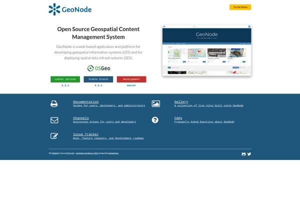
GeoNode is a free and open source platform built with Django that facilitates the creation, sharing, and collaborative use of geospatial data. It provides a standardized way to publish spatial datasets and metadata, allowing researchers, organizations, and citizens to easily share maps, data, and stories online.Some key features of GeoNode...
Mapnik is an open-source toolkit for developing mapping applications. It provides the functionality to take spatial data inputs, apply cartographic styling rules and symbolization, and render high-quality maps.Some key features and capabilities of Mapnik include:Access to many common spatial data formats such as shapefiles, PostGIS, SQLite, GeoJSON, KML, and others.Flexible...
TileMill is an open source map design studio developed by MapBox that allows users to quickly and easily create custom interactive maps for the web. It has an intuitive user interface that allows users to import and style map data to create beautiful custom map visualizations.Some key features of TileMill...
PostGIS is an open source software program that adds support for geographic objects to the PostgreSQL object-relational database. PostGIS follows the Simple Features for SQL specification from the Open Geospatial Consortium (OGC). This enables PostgreSQL to store, query, and manipulate spatial data efficiently.Key capabilities and features of PostGIS include:Implements spatial...
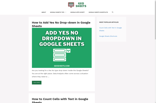
GeoSheets is a cloud-based geographic information system (GIS) software designed for creating interactive maps and analyzing spatial data. Some key features of GeoSheets include:Intuitive drag-and-drop interface to import, visualize and edit geospatial data from a variety of sources like Excel, CSVs, databases, APIs etc.Powerful yet easy-to-use tools for geocoding, spatial...
GRASS GIS (Geographic Resources Analysis Support System) is a free and open source geographic information system (GIS) software suite used for geospatial data management, analysis, graphics and maps production, spatial modeling, and visualization.Some key features of GRASS GIS include:Powerful raster, vector, and geospatial processing tools for analysis and data conversionAbility...
Mapline is an open-source, self-hosted web application that allows users to create custom maps for free. It is an alternative to proprietary services like Google My Maps.Some key features of Mapline include:Ability to add markers, lines, shapes, and text notes to your mapsSupport for multiple layers on a single mapOptions...
Maptitude is a desktop Geographic Information System (GIS) software developed by Caliper Corporation. It provides tools for creating interactive maps, performing spatial analysis, managing geographic data, and generating reports.Key features of Maptitude include:Interactive mapping - Allows users to create professional-quality maps with layers, labels, scale bars, north arrows, etc.Data visualization...
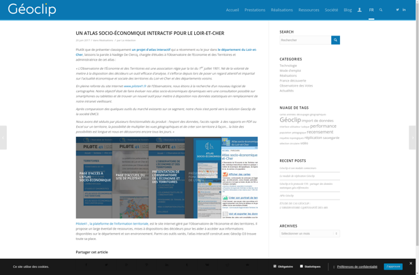
Geoclip is a user-friendly software solution for creating multimedia-enhanced interactive maps, timelines, and virtual tours. Its key features include:Intuitive drag-and-drop interface for adding and arranging locations, descriptions, images, videos, audio clips, hyperlinks, and more onto customizable maps or timelinesVariety of base maps including road, terrain, satellite, and open street mapsOptions...
Manifold is a specialized 3D modeling and surface design software for Windows. It excels at creating smooth, flowing, organic 3D forms and manipulated surfaces for artistic purposes.Some key features of Manifold include:Powerful tools for sculpting, bending, twisting, and deforming surfacesIntuitive interface for manipulating control vertices and polygonsAdvanced smoothing, filleting, and...
GeniusGIS is an open-source geographic information system (GIS) software application used for creating, editing, visualizing, analyzing and publishing geospatial data. It provides a user-friendly interface and powerful tools for working with maps and geographic information.Some key features of GeniusGIS include:Interactive map creation and editingAdvanced geospatial analysis and modeling toolsSupport for...
ESRI Geoportal Server is an open source software application used to stand up geospatial clearinghouse portals for managing and discovering metadata and associated geospatial resources. It provides a standards-based metadata catalog that allows users to publish, search, and access geospatial resources such as datasets, rasters, and web services.Key features of...
The Map Kit Framework is an iOS and macOS SDK that allows developers to embed interactive maps and location-based services into their applications with ease. Developed by Apple, it integrates tightly with Apple's platforms and devices, providing efficient use of system resources.Some key capabilities offered by Map Kit include:Displaying standard,...