Magic Maps

Magic Maps

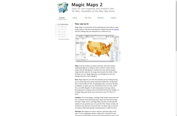
Magic Maps is a mapping and route planning software for adventurers. It allows users to plot routes, find points of interest, and track progress during outdoor excursions like hiking, biking, or road trips. The software works offline and integrates with mobile devices' built
Magic Maps image
mapping navigation route-planning gps offline

Magic Maps: Mapping & Route Planning Software for Outdoor Adventures

Discover Magic Maps, a powerful software for planning outdoor excursions. Plot routes, find points of interest and track progress offline with integrated GPS capabilities.

What is Magic Maps?

Magic Maps is an innovative mapping and route planning application designed specifically for outdoor adventurers like hikers, cyclists, and road trippers. It provides advanced features to enhance trip planning and navigation compared to traditional mapping software.

One of the key benefits of Magic Maps is its seamless offline functionality. Users can download detailed topographic maps ahead of their trips that work completely offline during remote excursions. The software tracks the user's real-time GPS location on the saved offline maps with no connectivity required. This allows adventurers to navigate accurately even in remote wilderness areas without cellular service.

In addition to offline GPS tracking, Magic Maps enables users to plot out upcoming routes and trails by dropping waypoints and planning desired paths of travel. The advanced route planning features take topography, elevation, and user preference into account - allowing adventurers to preview trails ahead of time. Users can track distance, estimated time, altitude changes, and more while visually plotting their route.

During active travel, Magic Maps provides a wealth of real-time stats including current, average, and max speed; distance traveled; bearing; altitude, ascent and descent; and estimated time to next waypoint. These details allow travelers to better pace themselves and manage navigation hassles. The software also includes essential safety tools like retracing steps and one-touch access to contacts for emergency situations.

With its seamless offline access, mobile integration, advanced planning and live tracking capabilities - Magic Maps is the go-to software for hikers, bikers, and anyone embarking on outdoor adventures spanning across remote areas. Whether tackling local trails or navigating foreign backcountry, Magic Maps gives users the confidence and tools needed for smooth travels from start to finish.

Magic Maps Features

Features

  1. Route planning and navigation
  2. Offline mapping capabilities
  3. Integration with mobile device GPS
  4. Points of interest search
  5. Progress tracking during outdoor activities
  6. Customizable map layers and overlays

Pricing

  • Freemium
  • Subscription-Based

Pros

Offline functionality for remote areas

Comprehensive mapping data for outdoor activities

Seamless integration with mobile devices

Detailed route planning and optimization

Useful for a variety of outdoor pursuits

Cons

Limited to outdoor/adventure-focused use cases

May require additional subscription or purchase for advanced features

Potential compatibility issues with older mobile devices

Reliance on mobile device GPS could drain battery quickly


The Best Magic Maps Alternatives

Top Travel & Location and Navigation & Maps and other similar apps like Magic Maps

Here are some alternatives to Magic Maps:

Suggest an alternative ❐

QGIS icon

QGIS

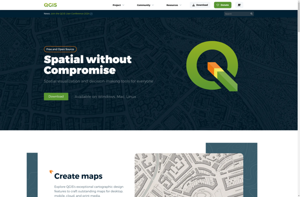
QGIS is a professional open-source Geographic Information System (GIS) software for working with maps and geospatial data. It is licensed under the GNU Public License. QGIS allows you to view, edit, analyze, process, and visualize spatial data in various formats including shapefiles, GeoTIFFs, PostGIS, SpatiaLite, GPX, and more. It supports...
QGIS image
ArcGIS icon

ArcGIS

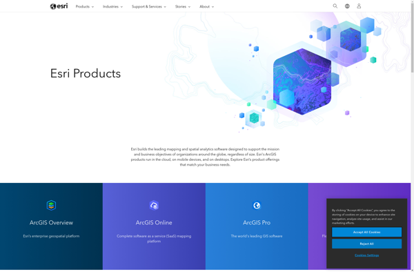
ArcGIS is a robust and comprehensive geographic information system (GIS) software developed by Esri. It provides a range of capabilities for creating, managing, analyzing, and sharing geospatial data and maps across desktop, mobile, web, and enterprise systems.Key features of ArcGIS include:Advanced geospatial analysis tools for proximity analysis, geocoding, routing, terrain...
ArcGIS image
SAGA GIS icon

SAGA GIS

SAGA GIS (System for Automated Geoscientific Analyses) is a free and open source geographic information system (GIS) software used for editing and analyzing spatial data. It contains a large set of geoscientific analysis functions and utilities for managing vector, raster and table data.Some key features of SAGA GIS include:Support for...
SAGA GIS image
Ortelius icon

Ortelius

Ortelius is an open source network modeling and visualization software used by network architects and engineers to design, model and visualize complex network environments. It provides a single source of truth for managing network inventory and documentation across physical, virtual, and cloud networks.Key features of Ortelius include:Interactive and customizable network...
Ortelius image
Equator icon

Equator

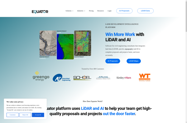
Equator is a cloud-based digital asset management (DAM) and brand management platform used by global companies to easily manage their digital assets. It enables teams to efficiently organize, distribute, collaborate on, and track usage of brand assets from one central place.Key features of Equator include:Cloud-based storage for all digital assetsPowerful...
Equator image
GRASS GIS icon

GRASS GIS

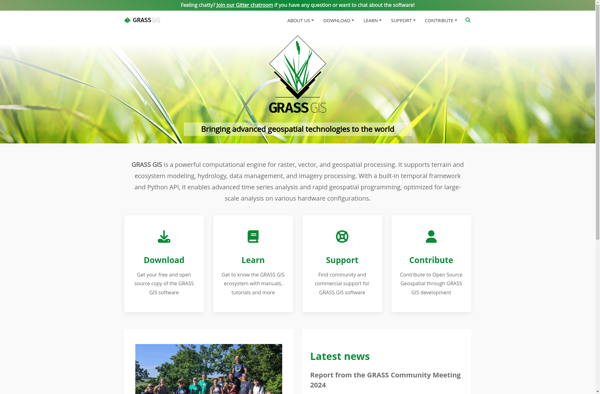
GRASS GIS (Geographic Resources Analysis Support System) is a free and open source geographic information system (GIS) software suite used for geospatial data management, analysis, graphics and maps production, spatial modeling, and visualization.Some key features of GRASS GIS include:Powerful raster, vector, and geospatial processing tools for analysis and data conversionAbility...
GRASS GIS image
Maptitude icon

Maptitude

Maptitude is a desktop Geographic Information System (GIS) software developed by Caliper Corporation. It provides tools for creating interactive maps, performing spatial analysis, managing geographic data, and generating reports.Key features of Maptitude include:Interactive mapping - Allows users to create professional-quality maps with layers, labels, scale bars, north arrows, etc.Data visualization...
Maptitude image
TdhGIS icon

TdhGIS

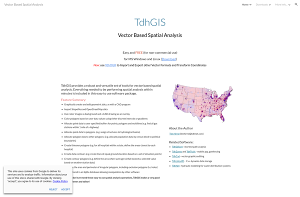
TdhGIS is an open-source geographic information system (GIS) software application developed by Terre des hommes (Tdh), an international NGO focused on humanitarian aid for children. It is designed specifically for public health professionals to map and analyze data to improve programs and policies.Key features of TdhGIS include:Interactive and dynamic mapping...
TdhGIS image
Corgilytics icon

Corgilytics

Corgilytics is a revolutionary data analytics and business intelligence platform built from the ground up to cater to the needs of corgi owners and enthusiasts. As a sophisticated yet easy-to-use tool, Corgilytics empowers corgi owners to better understand and optimize the health, happiness, and wellbeing of their favorite short-legged canine...
Corgilytics image