Geoconcept
Geoconcept: Geographic Information System Software
Geoconcept is a geographic information system (GIS) software used for creating, editing, analyzing, and publishing geospatial data. It allows users to make maps, perform spatial analysis, manage geographic databases, and integrate location-based content into various applications.
What is Geoconcept?
Geoconcept is a desktop geographic information system (GIS) software designed for working with geospatial data and making maps. It provides a wide range of features and tools for creating, editing, analyzing, visualizing, and publishing geographic information.
With Geoconcept, users can import, manage, and analyze various types of spatial data including vector data such as points, lines, and polygons as well as raster imagery and terrain models. It supports hundreds of data formats allowing integration of data from different sources. Users can create both basic and thematic maps by applying versatile styling and labeling options.
The software includes advanced geospatial analysis tools for proximity analysis, geocoding, routing and logistics, watershed delineation and more. Users can automate workflows through scripting and build custom tools and models using the integrated Python console and Geoconcept’s APIs.
Outputs and maps created in Geoconcept can be shared via interactive web maps, static image exports, and PDF report generation. It also allows publishing map services to intranets and the open web through open standards like WMS, WMTS, and WFS. Licensing options are available for both desktop and server-based deployments.
With its extensive capabilities and CUSTOMIZABLE options, Geoconcept is widely used in industries such as government, natural resource management, public works, transportation, AND utilities for both geographic analysis and map production.
Geoconcept Features
Features
- Desktop and web-based GIS platform
- Advanced data editing and geoprocessing tools
- Spatial analysis and modeling capabilities
- 3D visualization and analysis
- Advanced cartography and map publishing
- Database management and integration
- Customizable with add-ons and APIs
Pricing
- Perpetual License
- Subscription
- Freemium
Pros
Cons
Official Links
Reviews & Ratings
Login to ReviewThe Best Geoconcept Alternatives
View all Geoconcept alternatives with detailed comparison →
Top Education & Reference and Geographic Information Systems and other similar apps like Geoconcept
Here are some alternatives to Geoconcept:
Suggest an alternative ❐QGIS

MapInfo Professional

ArcGIS

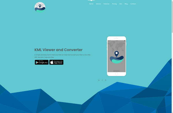
KML viewer and converter
What3words

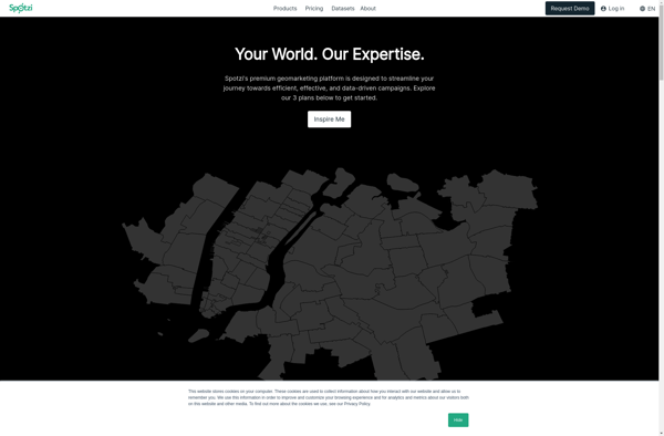
Spotzi
Equator

Mapline

TdhGIS

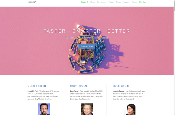
Manifold
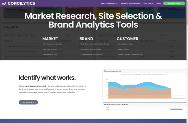
Corgilytics
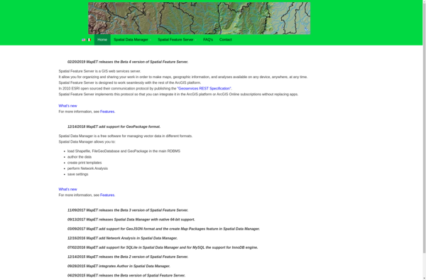
Spatial Feature Server