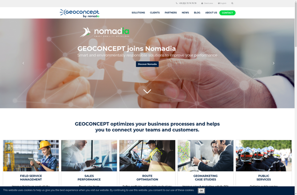
Geoconcept
Description: Geoconcept is a geographic information system (GIS) software used for creating, editing, analyzing, and publishing geospatial data. It allows users to make maps, perform spatial analysis, manage geographic databases, and integrate location-based content into various applications.
Type: software
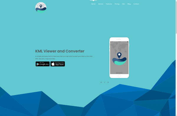
KML viewer and converter
Description: KML viewer and converter is a free software that allows you to open, view, and convert KML and KMZ files. It supports previewing KML data on a map and converting to various formats like PDF, PNG, JPG, GeoJSON, CSV, and more.
Type: software
Pricing: Free