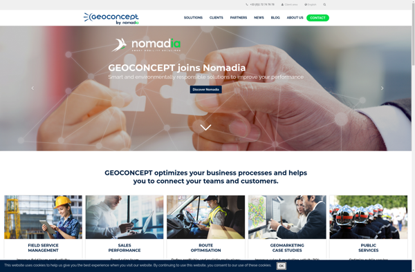
Geoconcept
Description: Geoconcept is a geographic information system (GIS) software used for creating, editing, analyzing, and publishing geospatial data. It allows users to make maps, perform spatial analysis, manage geographic databases, and integrate location-based content into various applications.
Type: software
QGIS
Description: QGIS is a free and open-source geographic information system software. It allows viewing, editing, and analyzing geospatial data. QGIS offers features for mapping, data management, and data visualization.
Type: software
Pricing: Open Source