Google My Maps is a free web-based tool from Google that allows users to create custom maps by adding locations, lines, shapes, and notes. It integrates with Google Drive for easy sharing and collaboration.
Free web-based tool to add locations, lines, shapes, and notes to create custom maps, integrates with Google Drive for sharing and collaboration
What is Google My Maps?
Google My Maps is a free customizable mapping software from Google. It allows anyone to create maps embedded with locations, lines, shapes, and text notes. My Maps provides a simple yet powerful interface to plot points on a map, connect them into routes, delineate areas or regions, and attach descriptions.
Some key features of Google My Maps include:
Ability to create maps with multiple layers, custom markers, shapes and text
Options to import data from spreadsheets, add photos and customize map styles
Real-time collaboration allowing multiple people to edit the same map simultaneously
Integration with Google Drive for easy sharing of maps via link or email
Embedding of maps into websites and Google documents
Creation of heatmaps showing density of plotted locations
Mobile-friendly interactive maps with tap-to-expand capability
With its easy learning curve and flexible sharing options, Google My Maps is a handy tool for plotting travel itineraries, visualizing location-based data, coordinating events, mapping tour routes, marking favorite places, and other creative map-based projects requiring visualization and collaboration.
Snazzy Maps is a web-based service that provides custom and visually appealing map styles for Google Maps. It features a collection of map styles designed by cartographers and designers to help users customize the look and appearance of standard Google Maps.Some key features of Snazzy Maps include:Gallery of over 100...
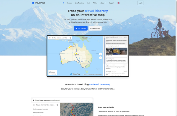
TravelMap is an innovative travel planning and journaling web application. It makes planning upcoming vacations and trips exceptionally easy and organized. Users can add desired destinations to an interactive map, save locations into organized trips, create detailed daily itineraries for things to see and do, book accommodations and transportation, and...
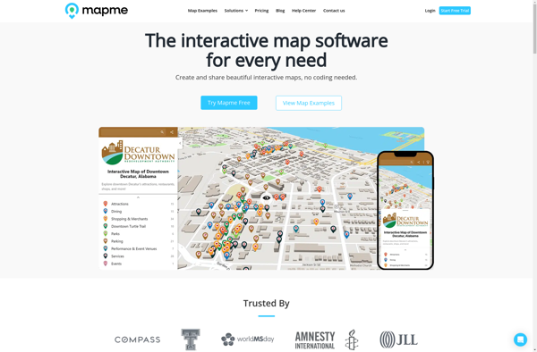
Mapme is an intuitive and collaborative online mind mapping and brainstorming application. It enables individuals and teams to visually organize ideas, projects, and workflows all in one place.Key features of Mapme include:Real-time collaboration - Work together on mindmaps at the same time for seamless brainstorming sessionsDiagramming and visualization - Easily...
Mapotic is an open-source, self-hosted alternative to Mapbox that provides developers and designers with tools for creating interactive maps. Some key features of Mapotic include:Ability to design custom base maps with Mapnik and CartoCSSSupport for overlaying vector and raster map tiles from various sourcesTools for visualizing, analyzing, and processing geospatial...
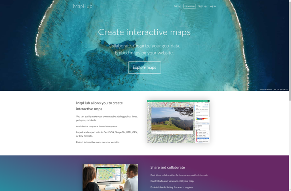
MapHub is an open-source, customizable mapping and data visualization platform. It provides users with an intuitive interface to create interactive maps, heatmaps, and network graphs to visualize spatial data, identify patterns and trends, and gain actionable insights.Some key features of MapHub include:Importing and visualizing geospatial data sets like Excel spreadsheets,...
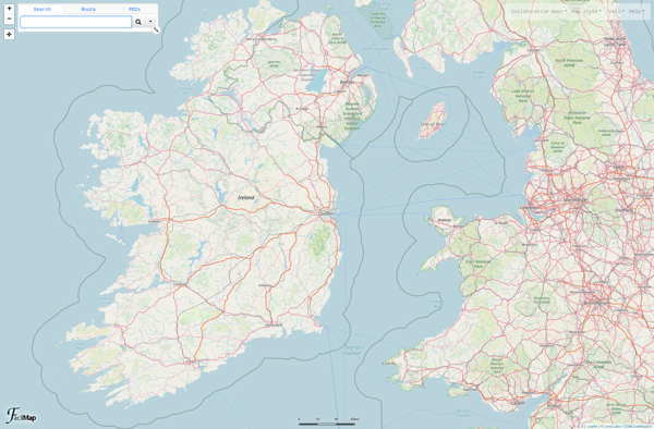
FacilMap is a versatile mind mapping and brainstorming software used to visually organize ideas and information. With an intuitive drag-and-drop interface, users can quickly create colorful node-link diagrams that branch out in a free-flowing radial structure.Key features of FacilMap include:A variety of styling options to customize the appearance of topics,...
Place.Guru is a powerful location intelligence software that leverages geospatial data and AI to provide actionable insights about places. It helps businesses with key location-based decisions such as where to open new stores, how to define sales territories, identifying areas with high growth potential for expansion, and more.Some of the...