MapLibre is an open-source mapping platform similar to Google Maps. It provides embeddable maps, geocoding, and routing functionality for websites. MapLibre is built on open-source mapping libraries like Leaflet and OpenStreetMap data.
An open-source alternative to Google Maps, providing embeddable maps, geocoding, and routing functionality for websites, built on Leaflet and OpenStreetMap data.
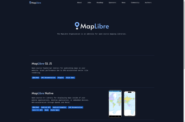
What is MapLibre?
MapLibre is an open-source, community-led mapping platform designed as an alternative to proprietary solutions like Google Maps. Based on Leaflet and Mapbox GL JavaScript libraries, MapLibre provides embeddable interactive maps that can be customized via a JavaScript API or CSS.
Key features of MapLibre include:
Interactive slippy maps with panning, zooming, markers, popups
Custom map styles and vector tiles using Mapbox GL JSON spec
Geocoding for converting addresses to geographic coordinates
Routing and navigation between points
Traffic information and public transit layers
Supports various open data sets like OpenStreetMap
As MapLibre is open-source and doesn't require an API key, it provides an economical alternative to Google Maps or Mapbox for mapping web or mobile applications. Developers and businesses have full control over customizing MapLibre to their needs without restrictive usage limits or fees.
MapLibre is community-driven via organizations like Open Source Geospatial Foundation (OSGeo). Over time features may be added to support 3D maps, satellite/aerial imagery, geofencing, and offline usage.
Google Maps is a web mapping platform and consumer application offered by Google. It offers satellite imagery, aerial photography, street maps, 360° interactive panoramic views of streets, real-time traffic conditions, and route planning for traveling by foot, car, bicycle and air, or public transportation.Key features of Google Maps include:Interactive street...
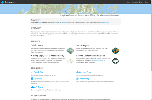
OpenLayers is an open source JavaScript library for displaying map data in web browsers. It provides an API for building rich web-based geographic applications.Some key features of OpenLayers include:Supports displaying map tiles and vector data from any sourceIncludes zooming, panning, layer switching controls out of the boxExtensive API for programatically...
Mapbox Studio is a powerful desktop application for designing custom map styles. It provides a graphical user interface that allows you to visually style vector tiles created with Mapbox tools and services.Some key features of Mapbox Studio include:Import vector tilesets created with Mapbox tools like Mapbox Streets and SatelliteStyle map...
Felt is an open-source web-based application for kanban-style project management and task tracking. It provides a visual interface for organizing tasks into pipelines represented as boards, lists, and cards.Some key features of Felt include:Boards to organize projects and track progress across different stagesCustom lists within each board to categorize tasks...
Leaflet is an open-source JavaScript library for building web mapping applications. Here is a more detailed overview:- Leaflet is designed with simplicity, performance and usability in mind. It offers easy integration with other mapping libraries and APIs.- The library is extremely lightweight at only about 38 KB, which allows for...
OpenMapTiles is an open-source project that provides software and data to self-host various mapping services and capabilities. Some of the key components and capabilities include:Vector and raster map tiles - OpenMapTiles provides scripts and data to generate your own map tile sets including OpenStreetMap data. This allows hosting them yourself...
Guru Maps is an online mind mapping and brainstorming application designed to help users organize ideas and information visually. As an intuitive tool for project planning, brainstorming sessions, and task management, Guru Maps enables users to create colorful nonlinear maps to connect ideas, notes, files, links, and more.Key features of...
MapTiler Cloud is a cloud-based solution that allows users to create, style, optimize and deliver map tiles for web and mobile applications. Some key features include:Upload your own geospatial data like satellite/aerial imagery, DEMs, shapefiles, KMLs etc.Tiling engine that efficiently slices geospatial data into map tiles for zoom levelsMap styling...