MapSVG
MapSVG: Interactive SVG Mapping Library
A JavaScript library for building clickable vector maps with ease, supporting area, district, seating, floorplans and more
What is MapSVG?
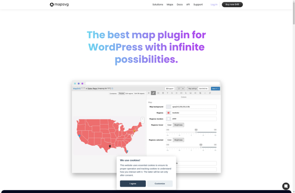
MapSVG is a feature-rich JavaScript SVG mapping library used to build interactive vector maps. It provides an easy way to display different geographical maps like country maps, state maps, city maps, maps with multiple layers, and floorplans.
Some key features of MapSVG include:
- Creating interactive clickable maps from SVG files
- Configuring tooltips, popups, zoom, search, and other UI elements
- Adding custom map pins, markers, and images
- Building multi-layer and choropleth maps
- Integrating maps with databases and external data
- Real-time highlighting and status tracking
- Embedding created maps into web apps and sites
- Fully customizable design and UI
- Works across all modern browsers and devices
MapSVG provides an easy-to-use API for developers to quickly add custom interactive maps into their projects. It takes care of map rendering and interaction, allowing devs to focus on building features instead of map internals.
With numerous built-in UI tools and full design customization options, MapSVG is a good choice for companies wanting to visualize location data or embed maps into their apps and sites.
MapSVG Features
Features
- Interactive SVG maps
- Customizable markers, regions, labels
- Tooltips, popovers, modal windows
- Heatmaps, choropleths
- Filters, search
- Custom data binding
- Works on all modern browsers and mobile devices
Pricing
- Free
- Subscription-Based
- Custom Pricing
Pros
Cons
Official Links
Reviews & Ratings
Login to ReviewThe Best MapSVG Alternatives
View all MapSVG alternatives with detailed comparison →
Top Development and Mapping and other similar apps like MapSVG
Modest Maps

Leaflet
