OpenSatNav

OpenSatNav

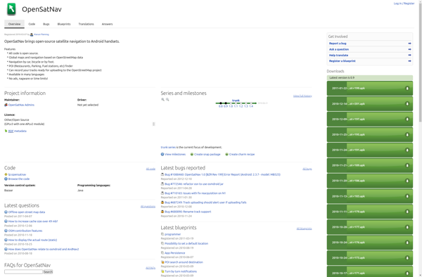
OpenSatNav is a free, open source navigation software for Windows, Linux, and Android devices. It offers turn-by-turn voice navigation, offline map support, route planning, and POI searching.
OpenSatNav image
navigation offline open-source

OpenSatNav: Free Navigation Software

Free navigation software for Windows, Linux, and Android devices with turn-by-turn voice navigation, offline map support, route planning, and POI searching.

What is OpenSatNav?

OpenSatNav is an open source navigation software that provides turn-by-turn GPS navigation and route planning for personal use. It can be installed on Windows, Linux, and Android devices and used completely offline thanks to its support for offline map downloads.

Key features of OpenSatNav include:

  • Turn-by-turn voice guided GPS navigation
  • Support for offline map downloads so navigation is possible without an internet connection
  • Route planning with customizable parameters like avoidance of tolls, highways, etc.
  • Searching for Points of Interest (POIs) like gas stations, restaurants, etc.
  • Support for different map providers including OpenStreetMap and TomTom
  • Completely free and open source software published under GPLv3 license

Some use cases for OpenSatNav are daily commute and trip navigation, hiking/trekking with offline maps, location tracking, city sightseeing with POI discovery, and more. Its open source nature allows developers to customize and enhance it as well.

OpenSatNav Features

Features

  1. Turn-by-turn voice navigation
  2. Offline map support
  3. Route planning
  4. POI searching

Pricing

  • Open Source

Pros

Free and open source

Available on multiple platforms like Windows, Linux and Android

Offline maps allow navigation without internet connection

Active development community

Cons

Limited map data compared to big names like Google Maps

No iOS support

Less intuitive UI than proprietary options

Lacks some advanced routing features


The Best OpenSatNav Alternatives

Top Travel & Location and Navigation and other similar apps like OpenSatNav


Google Maps icon

Google Maps

Google Maps is a web mapping platform and consumer application offered by Google. It offers satellite imagery, aerial photography, street maps, 360° interactive panoramic views of streets, real-time traffic conditions, and route planning for traveling by foot, car, bicycle and air, or public transportation.Key features of Google Maps include:Interactive street...
Google Maps image
OsmAnd icon

OsmAnd

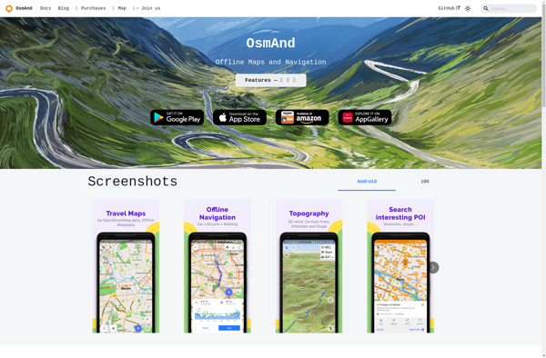
OsmAnd (OpenStreetMap Automated Navigation Directions) is a free and open-source mobile map and navigation application developed for Android and iOS devices. It relies entirely on detailed, community-driven maps from the OpenStreetMap project and allows accessing them offline without an internet connection.Some of the key features and capabilities of OsmAnd include:Turn-by-turn...
OsmAnd image
Modest Maps icon

Modest Maps

Modest Maps is an open source JavaScript mapping library designed for easily embedding interactive maps into web pages. Some key features of Modest Maps include:Lightweight and customizable - Only about 6KB when minified and gzippedSupports various map tile sources including OpenStreetMap, MapQuest, and CloudMadeProvides API for basic interactions like panning,...
Modest Maps image
Organic Maps icon

Organic Maps

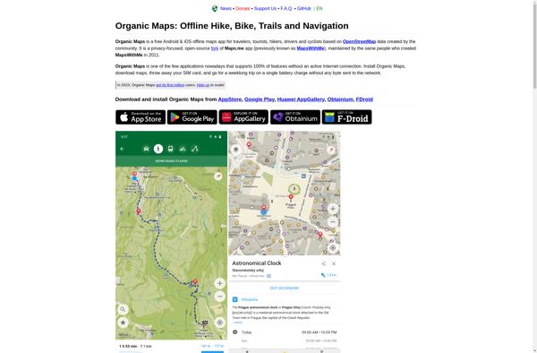
Organic Maps is an open-source, privacy-focused maps and navigation application for Android devices. Developed by Organic Maps Foundation, it provides an alternative to proprietary map apps like Google Maps or Apple Maps.Some key features of Organic Maps include:Turn-by-turn navigation with voice guidanceAbility to download maps for offline useRoute planning for...
Organic Maps image
Apple Maps icon

Apple Maps

Apple Maps is a web mapping service developed by Apple Inc. It was introduced in 2012 with iOS 6 as a replacement for Google Maps on Apple devices. Apple Maps offers turn-by-turn navigation, interactive panoramic street views, Flyover mode for photorealistic 3D views of certain cities, support for transit routing...
Apple Maps image
TransforMap icon

TransforMap

TransforMap is a free, open-source mind mapping and brainstorming software. It allows users to visually organize ideas, tasks, projects, and other information with the flexibility of a mind map interface.With TransforMap, users can:Create branching mind maps to break down large concepts and projects into an organized structureConnect related topics, ideas,...
TransforMap image
Leaflet icon

Leaflet

Leaflet is an open-source JavaScript library for building web mapping applications. Here is a more detailed overview:- Leaflet is designed with simplicity, performance and usability in mind. It offers easy integration with other mapping libraries and APIs.- The library is extremely lightweight at only about 38 KB, which allows for...
Leaflet image
Navmii icon

Navmii

Navmii is a free, open source GPS navigation software for Windows, Linux and Mac operating systems. It provides turn-by-turn voice guided navigation using OpenStreetMaps and allows users to download maps for offline usage.Key features of Navmii include:Voice guided navigation with street names pronunciationCustomizable maps with option to download maps for...
Navmii image
TomTom MyDrive icon

TomTom MyDrive

TomTom MyDrive is a free desktop and mobile app that interfaces with TomTom GPS navigation devices to provide expanded features and functionality. With MyDrive, users can plan routes and destinations on their computer, tablet, or phone and seamlessly send that information to their TomTom device.Key features of TomTom MyDrive include:Updated...
TomTom MyDrive image
Transportr icon

Transportr

Transportr is an open-source public transportation app for Android devices. It is designed to help users search, plan, and navigate public transit systems in cities around the world.Some key features of Transportr include:Intuitive user interface for searching routes, planning trips, and viewing schedules and maps.Support for public transit systems in...
Transportr image