MapViewer

MapViewer

MapViewer is an open-source, cross-platform geographic information system (GIS) software used for viewing, editing, and analyzing geospatial data. It supports various data formats and allows creating maps with layers, markers, and annotations.
MapViewer image
gis mapping navigation geospatial

MapViewer: Open-Source GIS Software

MapViewer is an open-source, cross-platform geographic information system (GIS) software used for viewing, editing, and analyzing geospatial data. It supports various data formats and allows creating maps with layers, markers, and annotations.

What is MapViewer?

MapViewer is a free and open-source geographic information system (GIS) software application used for viewing, editing, and analyzing geospatial data. Developed by the Open Source Geospatial Foundation (OSGeo), MapViewer runs on Windows, macOS and Linux.

Key features of MapViewer include:

  • Support for major vector and raster spatial data formats including Shapefiles, GeoTIFF, PostGIS, SpatiaLite, and many more
  • Advanced cartography and styling of maps with symbols, colors, labels, overlays, etc.
  • Powerful analysis tools and geo-processing functions
  • Creation and editing of spatial data
  • Extensible architecture to add plugins and custom tools
  • Scripting interface to automate workflows
  • Can be extended via Python and other languages
  • Integration with GPS devices
  • Print layout creation
  • Export to common formats like PDF, SVG, JPG, KML, GeoJSON

With its rich toolset and active open source development model, MapViewer serves as a popular alternative to proprietary solutions. Its extensive capabilities around spatial data manipulation, analysis and visualization make MapViewer a good option for GIS professionals, researchers, government agencies and others with geospatial data needs.

MapViewer Features

Features

  1. View, edit and analyze geospatial data
  2. Support for various data formats like Shapefiles, GeoJSON, PostGIS, etc
  3. Create maps with layers, markers and annotations
  4. Perform spatial analysis and geoprocessing tasks
  5. Plugin architecture to extend functionality
  6. Cross-platform - runs on Windows, Linux and MacOS

Pricing

  • Open Source
  • Free

Pros

Free and open source

User friendly and easy to use interface

Powerful analysis and visualization capabilities

Support for many data formats and databases

Customizable and extensible via plugins

Cross-platform compatibility

Cons

Limited native support for some advanced analyses

Steep learning curve for some advanced features

Not as robust or performant as proprietary GIS software

Lacks some niche or domain-specific tools

User interface can be cluttered at times


The Best MapViewer Alternatives

Top Travel & Location and Mapping & Navigation and other similar apps like MapViewer


ArcGIS icon

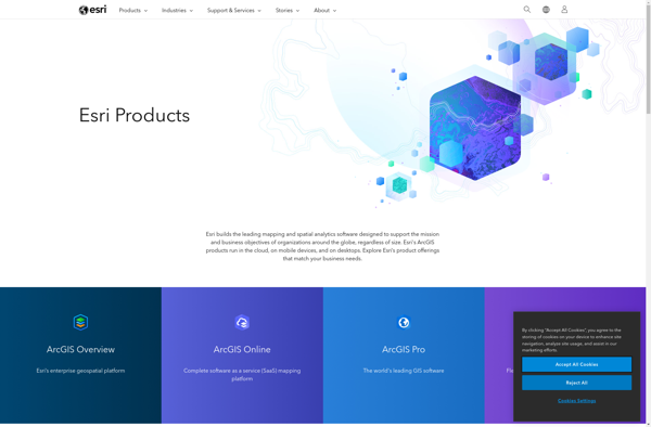
ArcGIS

ArcGIS is a robust and comprehensive geographic information system (GIS) software developed by Esri. It provides a range of capabilities for creating, managing, analyzing, and sharing geospatial data and maps across desktop, mobile, web, and enterprise systems.Key features of ArcGIS include:Advanced geospatial analysis tools for proximity analysis, geocoding, routing, terrain...
ArcGIS image
KML viewer and converter icon

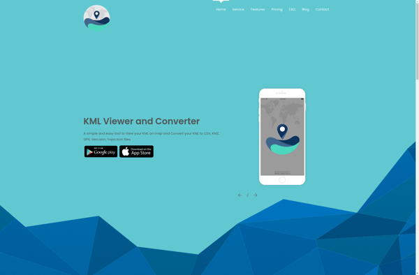
KML viewer and converter

KML viewer and converter is a lightweight desktop application for working with geographic data in Keyhole Markup Language (KML) format. KML is an XML-based format used to display geographic data in applications such as Google Earth.With the KML viewer and converter, you can easily open and view the contents of...
KML viewer and converter image
GeoSheets icon

GeoSheets

GeoSheets is a cloud-based geographic information system (GIS) software designed for creating interactive maps and analyzing spatial data. Some key features of GeoSheets include:Intuitive drag-and-drop interface to import, visualize and edit geospatial data from a variety of sources like Excel, CSVs, databases, APIs etc.Powerful yet easy-to-use tools for geocoding, spatial...
GeoSheets image
Azimap GIS icon

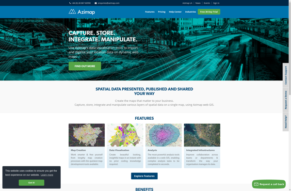
Azimap GIS

Azimap GIS is an open-source geographic information system (GIS) software application used to create, edit, visualize, analyze and publish geospatial information. It enables users to work with both raster and vector data, including the ability to create, edit and manage spatial datasets.Key features of Azimap GIS include:Interactive map display with...
Azimap GIS image
TdhGIS icon

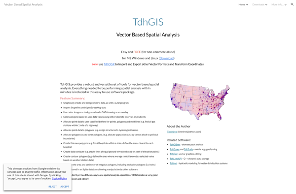
TdhGIS

TdhGIS is an open-source geographic information system (GIS) software application developed by Terre des hommes (Tdh), an international NGO focused on humanitarian aid for children. It is designed specifically for public health professionals to map and analyze data to improve programs and policies.Key features of TdhGIS include:Interactive and dynamic mapping...
TdhGIS image
Corgilytics icon

Corgilytics

Corgilytics is a revolutionary data analytics and business intelligence platform built from the ground up to cater to the needs of corgi owners and enthusiasts. As a sophisticated yet easy-to-use tool, Corgilytics empowers corgi owners to better understand and optimize the health, happiness, and wellbeing of their favorite short-legged canine...
Corgilytics image