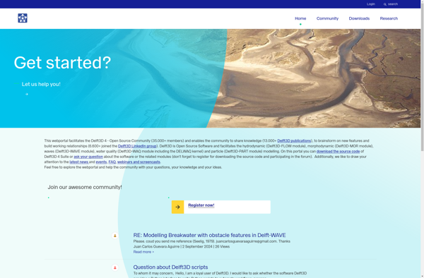
Delft3D
Description: Delft3D is an open source hydrodynamic modeling software suite developed by Deltares for simulations of flows, sediment transports, waves, water quality, morphological developments and ecology. It allows flexible meshing, coupling of modules, integration of external models, and parallel and cloud computing.
Type: software
Pricing: Open Source
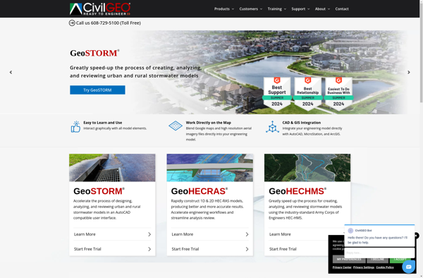
GeoHECRAS
Description: GeoHECRAS is a geographic information system (GIS) integrated with HEC-RAS hydraulic modeling software. It allows users to display, manage, analyze and visualize spatial data related to river systems and run hydraulic simulations.
Type: software