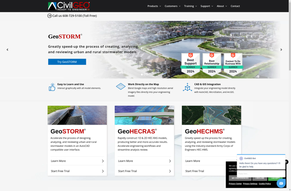
GeoHECRAS is a geographic information system (GIS) integrated with HEC-RAS hydraulic modeling software. It allows users to display, manage, analyze and visualize spatial data related to river systems and run hydraulic simulations.
GeoHECRAS is a geographic information system (GIS) integrated with HEC-RAS hydraulic modeling software. It allows users to display, manage, analyze and visualize spatial data related to river systems and run hydraulic simulations.
What is GeoHECRAS?
GeoHECRAS is an integrated software package that combines geographic information system (GIS) capabilities with the hydraulic modeling capabilities of HEC-RAS. It allows users to display, manage, analyze, and visualize spatial data related to riverine systems, including terrain data, bridge and culvert data, land use data, and more.
Key features of GeoHECRAS include:
Tight integration between ArcGIS and HEC-RAS for streamlined workflows
Powerful terrain processing and geospatial analysis tools
Advanced 2D flow modeling capabilities
Ability to visualize simulation results on terrain and aerial imagery
Tools for floodplain and flood inundation mapping
Bridge and culvert data management, analysis and modeling
Customizable reporting and graphing environment
With its combination of GIS and advanced hydraulics, GeoHECRAS is well-suited for floodplain management, flood risk analysis, flood inundation mapping, and other applications relying on accurate modeling and mapping of river and floodplain systems.
GeoHECRAS Features
Features
Integrates HEC-RAS hydraulic modeling with ArcGIS
Allows viewing and editing of HEC-RAS geometric data
Performs steady and unsteady flow simulations
Visualizes simulation results on floodplain maps
Analyzes flood risks and damage assessments
Models levee overtopping and breaching
Optimizes flood control structures
Pricing
One-time Purchase
Subscription-Based
Pros
Seamless integration of GIS and hydraulic modeling
Powerful spatial analysis capabilities
Advanced 2D modeling features
Automates repetitive tasks
Saves time compared to manual Workflows
Improves accuracy of floodplain mapping
Cons
Steep learning curve
Requires expertise in both GIS and hydraulic modeling
Relatively expensive for smaller organizations
Limited to HEC-RAS engine, not compatible with other software
Requires maintenance of two separate software systems
MIKE Flood is advanced flood modeling software developed by DHI Group. It enables comprehensive one-dimensional and two-dimensional flood modeling, mapping and analysis for a wide range of flooding phenomena including:Riverine floodingCoastal floodingUrban floodingFlooding from levee or dam breachesKey features include:Flexible mesh technology for accurate 2D flood mappingCoupled 1D and 2D...
MIKE 21 is a comprehensive modeling system for 2D free-surface flows from DHI Group. It enables simulation of flows, waves, sediment transport, water quality, and ecological processes in rivers, lakes, estuaries, coastal areas, and seas.Some key features and capabilities of MIKE 21 include:Flexible mesh allows accurate representation of complex geometriesPowerful...
MIKE 11 is a professional engineering software developed by DHI Group for one-dimensional river modeling and flood forecasting applications. It simulates flows, water quality, and sediment transport in estuaries, rivers, irrigation systems, channels, and other water bodies.MIKE 11 uses a flexible mesh approach and offers several hydrodynamic solvers to accurately...
The Storm Water Management Model (SWMM) is an open-source hydrologic and hydraulic modeling software developed by the US Environmental Protection Agency (EPA). It has been widely used for planning, analysis, and design related to stormwater runoff, combined and sanitary sewers, and other drainage systems in urban areas.SWMM simulates rainfall-runoff processes...
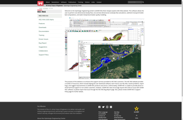
HEC-RAS (Hydrologic Engineering Center's River Analysis System) is modeling software developed by the U.S. Army Corps of Engineers used to perform one-dimensional hydraulic calculations for natural and constructed channels. HEC-RAS is capable of modeling steady and unsteady flow conditions, including subcritical, supercritical, and mixed flow regimes.Some of the key features...
ISIS Free is an open-source platform for analysis of multidimensional scientific images. It is developed by Oxford University as part of their physics instrumentation project.Features of ISIS Free include:Importing and handling large multidimensional datasetsVisualizing data using 2D, 3D and 4D viewersImage processing tools for filtering, transformations, segmentation, registration and moreQuantitative...
SOBEK Suite is an open-source, integrated business software suite targeted at small and medium enterprises. It includes modules for customer relationship management (CRM), accounting, inventory and order management, purchasing, sales, and more.Key features of SOBEK Suite include:CRM with contact management, pipeline tracking, calendar, and reporting toolsAccounting module for invoicing, billing,...
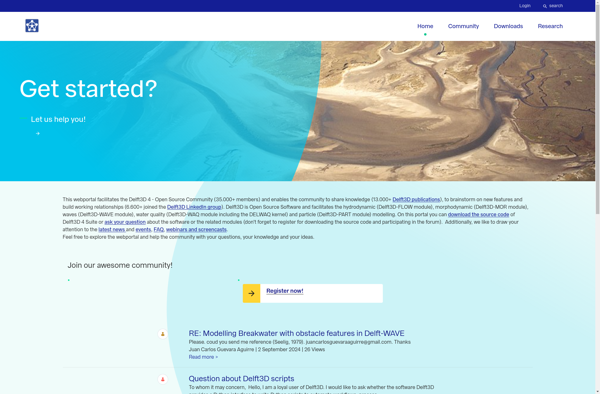
Delft3D is a powerful integrated modeling software suite developed by Deltares for multi-disciplinary research. It enables simulations of flows, sediment transports, waves, water quality, morphological developments and ecology for fluvial, estuarine and coastal environments.Key features and capabilities:Flexible meshing tools to generate optimized model gridsSeamless online coupling between flow, waves, sediment...