MIKE 11

MIKE 11: Professional Engineering Software for Water Simulation
MIKE 11 is a professional engineering software for the simulation of flows, water quality, and sediment transport in estuaries, rivers, irrigation systems, channels, and other water bodies. It uses a dynamic modeling approach based on numerical methods to provide insights for planning, design, and management.
What is MIKE 11?
MIKE 11 is a professional engineering software developed by DHI Group for one-dimensional river modeling and flood forecasting applications. It simulates flows, water quality, and sediment transport in estuaries, rivers, irrigation systems, channels, and other water bodies.
MIKE 11 uses a flexible mesh approach and offers several hydrodynamic solvers to accurately represent flow propagation in branched and looped networks. The key features include simulation of flood flows, gate operations, weirs/spillways, bridges and culverts, floodplain flows, real-time flood forecasting, water quality modeling, sediment transport and morphological changes, and impact assessment of river engineering measures.
The software is based on a dynamic modeling approach using advanced numerical methods to solve the Saint-Venant equations. This allows engineers and modelers to study complex hydraulic phenomena and interactions to support planning, design and management of water resources infrastructure and flood protection systems.
MIKE 11 integrates seamlessly with the MIKE portfolio of products for mapping, geo-spatial analysis, and broader integrated catchment/coastal modeling. It has a user-friendly interface for pre-processing, simulation setup, and post-processing. DHI also provides specialized consulting services for using MIKE 11 across projects in water resources, hydrology and hydraulic engineering.
MIKE 11 Features
Features
- One-dimensional river modeling
- Flood forecasting
- Real-time control
- Water quality modeling
- Sediment transport
- Ecological modeling
- Data management
Pricing
- Subscription-Based
Pros
Cons
Reviews & Ratings
Login to ReviewThe Best MIKE 11 Alternatives
View all MIKE 11 alternatives with detailed comparison →
Top Science & Engineering and Hydraulics & Hydrology and other similar apps like MIKE 11
Here are some alternatives to MIKE 11:
Suggest an alternative ❐MIKE Flood

MIKE 21

Storm Water Management Model

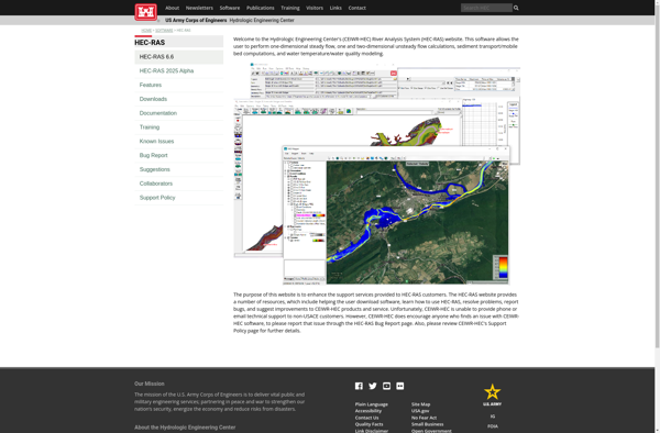
HEC-RAS
ISIS Free

SOBEK Suite

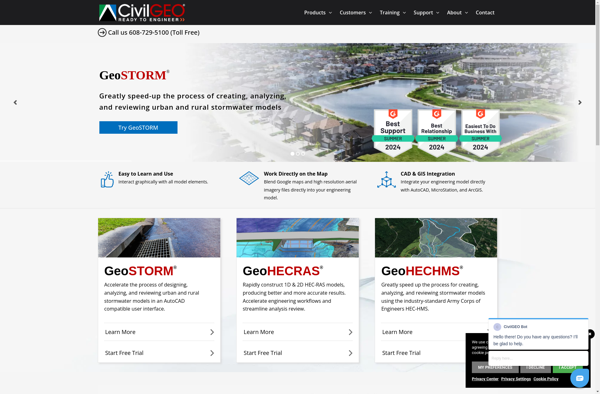
GeoHECRAS
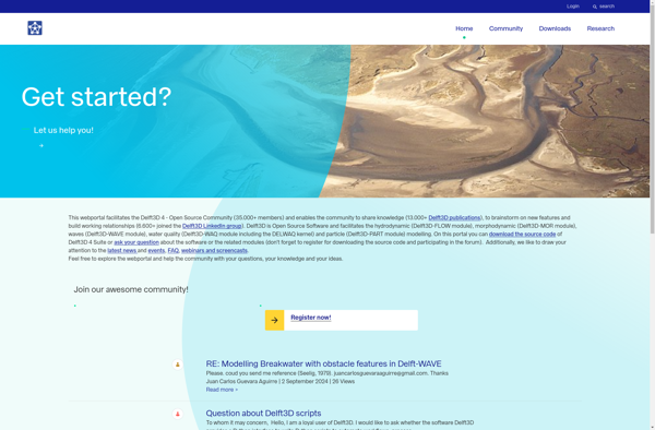
Delft3D