Storm Water Management Model

Storm Water Management Model: Open-Source Hydrologic Modeling Software for Urban Drainage
The Storm Water Management Model (SWMM) is an open-source hydrologic and hydraulic modeling software used for planning, analysis, and design related to stormwater runoff, combined and sanitary sewers, and other drainage systems in urban areas.
What is Storm Water Management Model?
The Storm Water Management Model (SWMM) is an open-source hydrologic and hydraulic modeling software developed by the US Environmental Protection Agency (EPA). It has been widely used for planning, analysis, and design related to stormwater runoff, combined and sanitary sewers, and other drainage systems in urban areas.
SWMM simulates rainfall-runoff processes occurring over natural and urban catchments. It tracks the quantity and quality of runoff generated from each subcatchment, flow rates and flow depths in each pipe and channel during a simulation period comprised of multiple time steps. It can be used for both single-event and long-term (continuous) simulations.
The main components modeled by SWMM include:
- Subcatchment hydrology using nonlinear reservoir equations or infiltration models
- Flow routing through drainage system elements like pipes, channels, storage units and regulators
- Rainfall-dependent infiltration/inflow
- Water quality constituents that undergo settling, volatilization, decay or advection.
SWMM can help in the analysis and design of various water infrastructure components and management practices including green infrastructure/low impact development practices, bioretention cells, porous pavement, rainwater harvesting systems, green roofs and other sustainable drainage systems.
Overall, SWMM provides an integrated environment for editing study area input data, running hydrologic, hydraulic and water quality simulations, and viewing the results in a variety of formats.
Storm Water Management Model Features
Features
- Simulates quantity and quality of runoff
- Models various components of the urban hydrologic cycle
- Accounts for various characteristics of subcatchments
- Models hydraulic performance of drainage system components
- Estimates pollutant loads associated with runoff
Pricing
- Open Source
Pros
Cons
Reviews & Ratings
Login to ReviewNo reviews yet
Be the first to share your experience with Storm Water Management Model!
Login to ReviewThe Best Storm Water Management Model Alternatives
View all Storm Water Management Model alternatives with detailed comparison →
Top Science & Engineering and Civil Engineering and other similar apps like Storm Water Management Model
Here are some alternatives to Storm Water Management Model:
Suggest an alternative ❐MIKE Flood

MIKE 21

MIKE 11

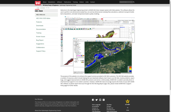
HEC-RAS
ISIS Free

SOBEK Suite

GeoHECRAS

Delft3D