ISIS Free
ISIS Free is an open-source scientific image processing software designed for analysis of multidimensional images. It offers tools and plugins for visualizing, enhancing, transforming and analyzing images from microscopes and other imaging devices.

ISIS Free: Open-Source Scientific Image Processing Software
An open-source scientific image processing software designed for analysis of multidimensional images, offering tools and plugins for visualizing, enhancing, transforming and analyzing images from microscopes and other imaging devices.
What is ISIS Free?
ISIS Free is an open-source platform for analysis of multidimensional scientific images. It is developed by Oxford University as part of their physics instrumentation project.
Features of ISIS Free include:
- Importing and handling large multidimensional datasets
- Visualizing data using 2D, 3D and 4D viewers
- Image processing tools for filtering, transformations, segmentation, registration and more
- Quantitative analysis through measurement tables and line profiles
- Support for a wide range of image formats including common microscopy formats
- An extensible plugin framework to add more algorithms and functionality
- Available across major desktop platforms like Windows, Mac and Linux
ISIS Free facilitates scientists and researchers to reveal detailed quantitative information from their multidimensional imaging data. Its open architecture also enables customization for niche applications.
ISIS Free Features
Features
- Open-source software
- Supports many image formats including TIFF, PNG, JPEG, BMP, DICOM, FITS
- Image processing tools for filtering, segmentation, registration, and analysis
- Extensible through plugins
- Scriptable through Python and Java interfaces
- Cross-platform - runs on Windows, Mac, and Linux
Pricing
- Open Source
Pros
Free and open source
Powerful image processing capabilities
Extensible and customizable
Cross-platform compatibility
Cons
Steep learning curve
Limited user support due to open source model
Less user friendly than commercial alternatives
Official Links
Reviews & Ratings
Login to ReviewThe Best ISIS Free Alternatives
View all ISIS Free alternatives with detailed comparison →
Top Science & Education and Image Processing and other similar apps like ISIS Free
Here are some alternatives to ISIS Free:
Suggest an alternative ❐MIKE Flood
MIKE Flood is advanced flood modeling software developed by DHI Group. It enables comprehensive one-dimensional and two-dimensional flood modeling, mapping and analysis for a wide range of flooding phenomena including:Riverine floodingCoastal floodingUrban floodingFlooding from levee or dam breachesKey features include:Flexible mesh technology for accurate 2D flood mappingCoupled 1D and 2D...
MIKE 21
MIKE 21 is a comprehensive modeling system for 2D free-surface flows from DHI Group. It enables simulation of flows, waves, sediment transport, water quality, and ecological processes in rivers, lakes, estuaries, coastal areas, and seas.Some key features and capabilities of MIKE 21 include:Flexible mesh allows accurate representation of complex geometriesPowerful...

MIKE 11
MIKE 11 is a professional engineering software developed by DHI Group for one-dimensional river modeling and flood forecasting applications. It simulates flows, water quality, and sediment transport in estuaries, rivers, irrigation systems, channels, and other water bodies.MIKE 11 uses a flexible mesh approach and offers several hydrodynamic solvers to accurately...

Storm Water Management Model
The Storm Water Management Model (SWMM) is an open-source hydrologic and hydraulic modeling software developed by the US Environmental Protection Agency (EPA). It has been widely used for planning, analysis, and design related to stormwater runoff, combined and sanitary sewers, and other drainage systems in urban areas.SWMM simulates rainfall-runoff processes...
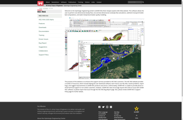
HEC-RAS
HEC-RAS (Hydrologic Engineering Center's River Analysis System) is modeling software developed by the U.S. Army Corps of Engineers used to perform one-dimensional hydraulic calculations for natural and constructed channels. HEC-RAS is capable of modeling steady and unsteady flow conditions, including subcritical, supercritical, and mixed flow regimes.Some of the key features...
SOBEK Suite
SOBEK Suite is an open-source, integrated business software suite targeted at small and medium enterprises. It includes modules for customer relationship management (CRM), accounting, inventory and order management, purchasing, sales, and more.Key features of SOBEK Suite include:CRM with contact management, pipeline tracking, calendar, and reporting toolsAccounting module for invoicing, billing,...

GeoHECRAS
GeoHECRAS is an integrated software package that combines geographic information system (GIS) capabilities with the hydraulic modeling capabilities of HEC-RAS. It allows users to display, manage, analyze, and visualize spatial data related to riverine systems, including terrain data, bridge and culvert data, land use data, and more.Key features of GeoHECRAS...
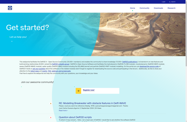
Delft3D
Delft3D is a powerful integrated modeling software suite developed by Deltares for multi-disciplinary research. It enables simulations of flows, sediment transports, waves, water quality, morphological developments and ecology for fluvial, estuarine and coastal environments.Key features and capabilities:Flexible meshing tools to generate optimized model gridsSeamless online coupling between flow, waves, sediment...