Earth Browser
Description: Earth Browser is a 3D interactive globe software that allows users to visualize and explore planet Earth. It has detailed topography, aerial and satellite imagery, ocean bathymetry, historical imagery, weather data, and other geographic datasets. Users can measure distances, create tours and flyovers, annotate locations, and more.
Type: software
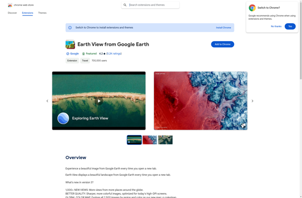
Earth View from Google Earth
Description: Earth View from Google Earth is a browser extension that sets your new tab page background to beautiful satellite images of Earth from Google Earth. It offers stunning, high-definition views of landscapes, cities, and landmarks from around the world.
Type: software