ArcGIS
Description: ArcGIS is a geographic information system (GIS) for working with maps and geographic information. It allows you to create, analyze, store, and share geographic data and maps.
Type: software
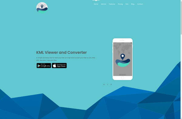
KML viewer and converter
Description: KML viewer and converter is a free software that allows you to open, view, and convert KML and KMZ files. It supports previewing KML data on a map and converting to various formats like PDF, PNG, JPG, GeoJSON, CSV, and more.
Type: software
Pricing: Free