Apple Maps
Description: Apple Maps is a web mapping service developed by Apple Inc. It provides directions, estimated travel times, and interactive panoramic views. Apple Maps also includes transit information and offers indoor maps for some locations.
Type: software
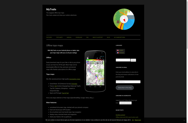
MyTrails
Description: MyTrails is a custom trail mapping tool that allows users to record and preserve details of hiking, biking, and other outdoor trails. It includes features to log trail stats, add photos, maps and descriptions to personalize trails.
Type: software