Flash Earth
Description: Flash Earth is an interactive 3D globe that uses satellite imagery and aerial photography to allow users to visually explore the Earth. It offers seamless, zoomable maps and terrain for easy navigation.
Type: software
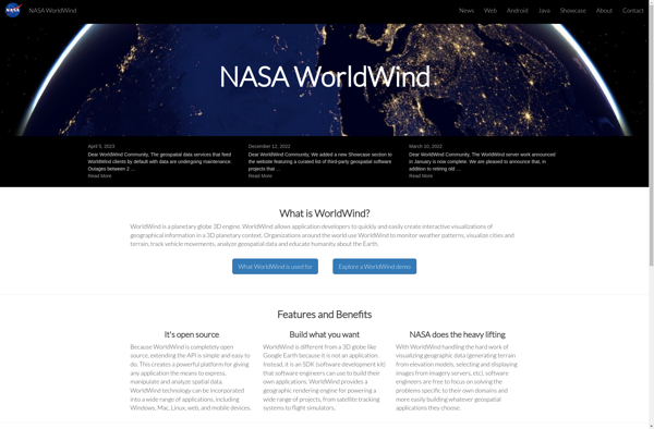
NASA World Wind
Description: NASA World Wind is an open source, cross-platform 3D virtual globe software that allows users to visualize the Earth and its terrain. It provides a detailed view of the planet using NASA satellite imagery and aerial photography.
Type: software
Pricing: Open Source