MapTiler Cloud
Description: MapTiler Cloud is a cloud-based raster and vector map tiling software. It allows users to upload geospatial data like satellite imagery, DEMs, shapefiles etc. and generate map tiles optimized for web and mobile apps. Key features include fast tiling, customizable styling, efficient storage and bandwidth.
Type: software
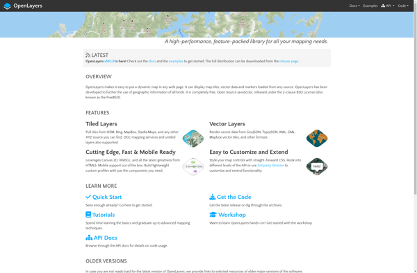
OpenLayers
Description: OpenLayers is an open source JavaScript library for displaying map data in web browsers. It provides an API for building rich web-based geographic applications similar to Google Maps.
Type: software
Pricing: Open Source