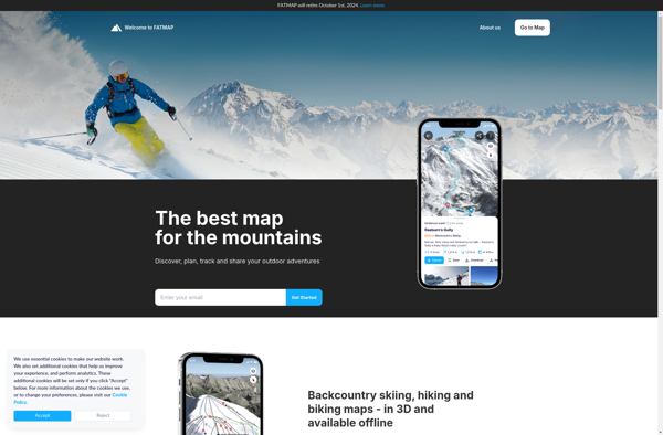
FATMAP
Description: FATMAP is an outdoor mapping app and website that provides detailed topographic maps for hiking, skiing, and other outdoor activities. It includes trail information, 3D terrain view, route planning tools, and offline maps.
Type: software
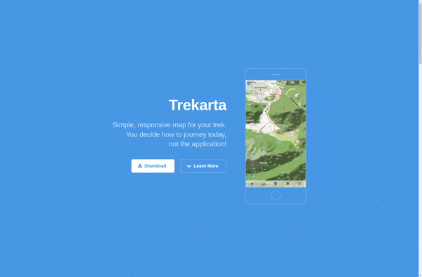
Trekarta
Description: Trekarta is a software designed for outdoor enthusiasts and nature explorers. It allows users to plan and record trekking, hiking, climbing or camping trips with interactive route planning, offline maps, rich points of interest data, trip statistics, photo integration and social sharing features.
Type: software