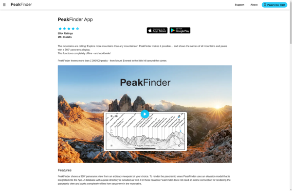
PeakFinder AR
Description: PeakFinder AR is an augmented reality mobile app that allows users to identify mountain peaks by simply pointing their phone camera. It overlays the names and heights of peaks on the camera view.
Type: software
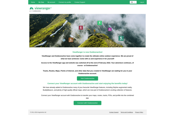
ViewRanger
Description: ViewRanger is a mobile app and website that provides outdoor navigation tools for hiking, cycling, and more. It offers offline maps, route planning, GPS tracking, augmented reality views, and community route sharing.
Type: software