Aqua Map
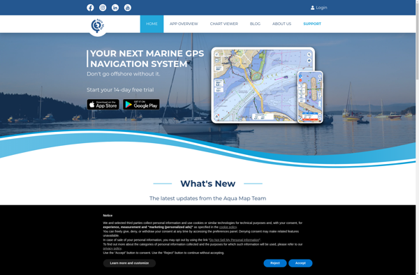
Aqua Map: Desktop Software for Coastal Spatial Planning
A desktop software for coastal and marine spatial planning and analysis, featuring mapping and analysis tools and statistical analysis capabilities for decision making in coastal and ocean environments.
What is Aqua Map?
Aqua Map is a comprehensive desktop software application designed specifically for coastal and marine spatial planning. It provides a suite of tools for mapping and analyzing geographic information within coastal and ocean environments to support planning, management, and decision making.
Key features of Aqua Map include:
- Interactive mapping with support for a wide range of geospatial data formats
- Spatial analysis tools for tasks such as site selection, suitability modeling, and statistical analysis
- Specialized marine tools like bathymetric mapping, tidal modeling, and ship routing
- Environmental impact assessment capabilities
- Compatibility with popular GIS software for importing and exporting data
- Customizable reporting and output generation
With its focus on coastal and marine environments and processes, Aqua Map enables planners, resource managers, researchers, and other professionals to visualize, analyze, and assess geographic information essential for developing management plans for marine protected areas, siting offshore development, zoning coastal regions, assessing environmental impacts, and related tasks.
Aqua Map Features
Features
- Interactive mapping and visualization
- Spatial analysis tools
- Statistical analysis
- Assessment capabilities
Pricing
- Subscription-Based
Pros
Cons
Official Links
Reviews & Ratings
Login to ReviewThe Best Aqua Map Alternatives
View all Aqua Map alternatives with detailed comparison →
Top Science & Education and Mapping & Analysis and other similar apps like Aqua Map
Here are some alternatives to Aqua Map:
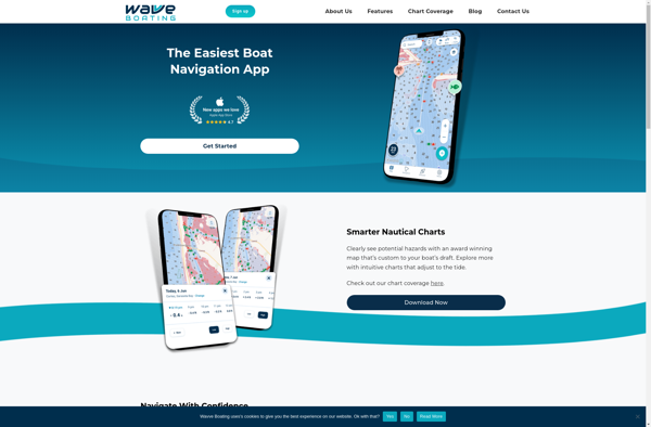
Suggest an alternative ❐Wavve Boating-Easy Marine GPS
UnderSee Explorer

DrDepth
Lake Monster - Lake Weather