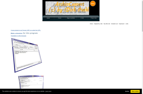
ArcConvert
ArcConvert: File Conversion Tool for GIS Data
A file conversion tool developed by Esri, supporting conversion between various GIS data formats, including raster and vector data, with batch processing capabilities.
What is ArcConvert?
ArcConvert is a powerful yet easy-to-use data conversion tool for GIS and geospatial data. Developed by Esri as part of the ArcGIS suite of products, ArcConvert allows you to batch convert between over 50 raster and vector formats including Shapefiles, GeoTIFFs, JPEG2000, CAD, and more.
Some key features and capabilities of ArcConvert include:
- Batch convert unlimited number of files
- Preserve coordinate systems and metadata during conversion
- Optimize raster compression for reduced file sizes
- Automate conversions through command line or scripts
- Supported input formats: SHP, FileGDB, CAD, GeoTIFF, JPEG2000, GRID, IMG
- Supported output formats: SHP, FileGDB, GeoTIFF, JPEG2000, CSV, FileGDB, DGN, DXF
With its user-friendly interface and powerful conversion capabilities, ArcConvert improves workflow efficiency for GIS analysts, remote sensing specialists, surveyors, engineers, and other geospatial professionals who need to convert data between various formats for analysis and mapping.
ArcConvert Features
Features
- Converts between many popular GIS data formats
- Supports both raster and vector data conversion
- Batch conversion of multiple files
- Command line interface for automation
- GUI available for interactive use
Pricing
- Free
- Open Source
Pros
Cons
Official Links
Reviews & Ratings
Login to ReviewThe Best ArcConvert Alternatives
View all ArcConvert alternatives with detailed comparison →
Top Gis and Data Conversion and other similar apps like ArcConvert
No alternatives found for ArcConvert. Why not suggest an alternative?