DEBiTool
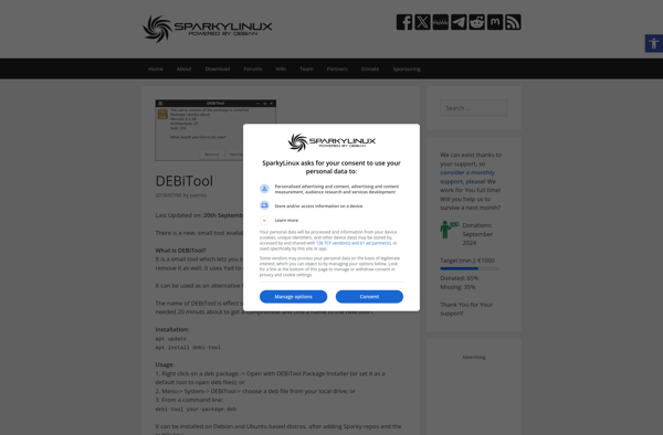
DEBiTool: Decode Satellite Text Broadcasts
Open-source software for decoding text broadcasts from satellites, translating them into more readable formats, with a focus on LRIT and HRIT data streams.
What is DEBiTool?
DEBiTool is a free, open-source software application designed specifically for receiving and decoding signals from weather satellites in orbit around the Earth. It can process high-resolution LRIT (Low Rate Information Transmission) and HRIT (High Rate Information Transmission) data streams from a range of different satellites and translate the encoded data into image files and other more human-readable formats.
Some of the key features of DEBiTool include:
- Decoding of a variety of LRIT and HRIT signals from weather satellites like NOAA, Meteor M2, FengYun 3 and more
- Options for automated signal acquisition and image capture
- Image enhancement tools like histogram equalization, destriping and debayering
- Generation of false color composite images from spectral bands
- Export of images to a range of common formats like PNG, JPEG, GeoTIFF etc.
As an open-source tool, DEBiTool benefits from contributions from developers around the world. It runs on Windows, Linux and Mac OS platforms. The interface and documentation is available in multiple languages. Overall, it provides capabilities similar to expensive commercial satellite receivers at no cost.
DEBiTool Features
Features
- Decodes LRIT and HRIT data streams from weather satellites
- Converts raw data into images and other readable formats
- Supports a variety of satellites including NOAA, Meteor, FengYun, and Metop
- Open source software available on GitHub
- Cross-platform compatibility (Windows, Linux, Mac)
- Active community support and regular updates
- Modular plugin architecture to add new decoders and outputs
- Command line interface and graphical user interface available
- Automated satellite pass scheduling
- Map projection and navigation overlays
- Image enhancement tools
Pricing
- Open Source
Pros
Cons
Official Links
Reviews & Ratings
Login to ReviewThe Best DEBiTool Alternatives
View all DEBiTool alternatives with detailed comparison →
Top Science & Education and Astronomy & Space and other similar apps like DEBiTool
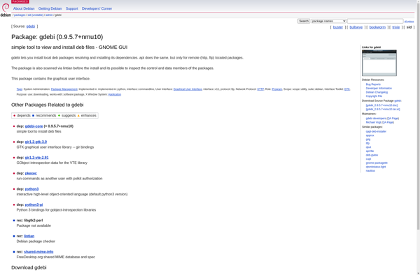
GDebi