Distances To

Distances To

Distances To is a software that allows users to easily calculate the distance and travel time between multiple locations. It has a simple interface to add destinations and get driving, walking and cycling routes.
Distances To image
distance-calculator travel-time driving-routes walking-routes cycling-routes

Distances To: Calculate Distance and Travel Time

Find the shortest route between multiple locations with our easy-to-use distance calculator software - Distances To, provides driving, walking and cycling routes on a map.

What is Distances To?

Distances To is a user-friendly web application designed to help users calculate travel distances and times between multiple locations. With its intuitive interface, it's easy to add destinations on a map and get accurate route information for driving, walking, cycling, and other modes of transportation.

Some key features of Distances To include:

  • Add unlimited destinations by searching for an address or clicking on the map
  • Get route options for driving, walking, biking, and public transit
  • View route distances, expected travel times, and step-by-step directions
  • Easily optimize routes to visit multiple destinations in the shortest overall distance
  • Save locations as favorites for quick access on future visits
  • Printable directions and map views
  • Supports locations worldwide

Whether planning a road trip, a bike ride, a pub crawl, or just trying to figure out travel times to a meeting, Distances To provides a fast and intuitive way to map out destinations and routes. And it's completely free to use with no sign-up required.

Distances To Features

Features

  1. Calculate distance and travel time between multiple locations
  2. Provide driving, walking, and cycling routes
  3. Simple and intuitive interface to add destinations
  4. Ability to save and share routes with others

Pricing

  • Free
  • Freemium
  • Subscription-Based

Pros

Easy to use and navigate

Provides comprehensive distance and travel time information

Supports multiple transportation modes

Allows users to save and share routes

Cons

Limited customization options

May not have up-to-date traffic and road information

Requires an internet connection to function


The Best Distances To Alternatives

Top Travel & Location and Route Planning and other similar apps like Distances To


Map My Ride icon

Map My Ride

Map My Ride is a popular fitness tracking platform designed specifically for cycling and mountain biking. The app uses GPS to track metrics during rides including speed, distance, elevation gain, route, and more. Riders can view their ride data, maps, and performance analytics in the app or on the Map...
Map My Ride image
On The Go Map icon

On The Go Map

On The Go Map is a mobile map application designed specifically for offline use. It allows users to download detailed maps of any location in the world to use when internet or data access is limited.Some of the key features of On The Go Map include:Ability to download maps for...
On The Go Map image
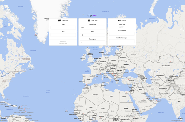
Tripco.st icon

Tripco.st

tripco.st is an innovative travel inspiration and planning platform designed to streamline the travel planning process for users. The site allows travelers to browse destination ideas, build customized packing checklists, create detailed itineraries, estimate trip budgets, and more - all in one centralized hub.Some key features of tripco.st include:An intuitive...
Tripco.st image
Traceroute Online icon

Traceroute Online

Traceroute Online is a free web-based tool that performs a traceroute to map out the path your data packets take when traveling from your computer to a destination on the internet. It works by sending ICMP echo request packets with increasing TTL (time to live) values and displaying the IP...
Traceroute Online image