GeoControl is a geolocation software that allows you to track locations and assets in real-time using GPS and cellular data. It provides visibility into field operations and asset tracking workflows.
GeoControl: Real-Time Asset Tracking & Field Operations Monitoring
GeoControl is a geolocation software that allows you to track locations and assets in real-time using GPS and cellular data. It provides visibility into field operations and asset tracking workflows.
What is GeoControl?
GeoControl is a robust geolocation and asset tracking software solution for businesses. It allows you to track vehicles, equipment, and mobile workforces in real-time using GPS, cellular and satellite connectivity.
Key features include:
Real-time location tracking of assets on interactive maps
Geofencing and alerts for unauthorized asset use
Detailed location history reporting and analytics
Customizable dashboards and automation workflows
Integration with telematics devices and IoT sensors
Flexible APIs and data exports
User permissions and access controls
Supports fleet tracking, heavy equipment tracking, lone worker safety, and more
GeoControl provides complete visibility into field operations for improved productivity, security and operational efficiency. The easy-to-use web and mobile apps make it simple to monitor and manage assets from anywhere. With robust tracking capabilities and flexible workflows, GeoControl is an ideal solution for companies in transportation, oil and gas, construction, facilities management and other industries.
GeoControl Features
Features
Real-time GPS tracking
Geofencing and alerts
Route optimization
Asset management
Fleet tracking
Mobile app
Web dashboard
Reporting and analytics
Pricing
Subscription-Based
Pros
Accurate real-time location data
Increased efficiency and productivity
Improved asset utilization
Enhanced workflow automation
Reduced costs
Better customer service
Scalable for large fleets
Easy to use interface
Cons
Upfront costs for hardware and setup
Monthly or annual subscription fees
Potential connectivity issues in remote areas
Privacy concerns around extensive location tracking
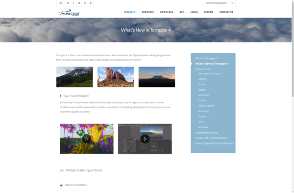
Terragen is a landscape and terrain generation software designed to create photo-realistic natural environments, terrains, and scenery. It uses advanced procedural algorithms and methods like fractal math to generate landscapes by simulating real-world terrain formation processes.Some key features and capabilities of Terragen include:Realistic terrain generation with control over details like...
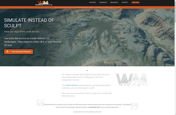
World Machine is a powerful software specialized in procedural terrain and texture generation for 3D environments. It uses a flexible, non-destructive node-based workflow that allows users to apply realistic erosion effects, sculpt detailed terrains, blend procedural textures, and export high-quality heightmaps and normal maps.Some of the key features of World...
Picogen is an innovative image generation software that utilizes cutting-edge AI technology to convert text prompts into original images. It provides an intuitive interface where users can simply type a description of the image they wish to generate, and Picogen's advanced generative algorithms will create a high-quality image based on...
PnP TerrainCreator is a powerful yet user-friendly program designed specifically for tabletop gaming terrain creation. With an intuitive interface and versatile toolset, it makes it easy for both novice and experienced users to sculpt stunning 3D battle maps.Some key features include:Custom brushes for raising, lowering, smoothing, and texturing terrainA material...
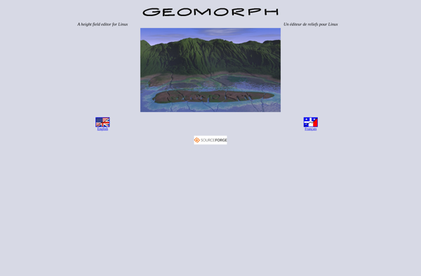
Geomorph is an open-source, browser-based software tool for spatial analysis and modeling of digital elevation models (DEMs). It enables users to load in DEM data sets, visualize them in 2D and 3D, and perform a variety of terrain analysis techniques to quantify land surface processes and landform patterns.Some key features...
Acropora is an open-source software application designed to model and simulate coral reef environments. It allows users to create 3D virtual reef structures, populate them with realistic coral formations, fish species, and other marine life, and observe their development over time.Some key features of Acropora include:Procedural generation of reef terrain...
Visual Nature Studio is a powerful nature audio editor and soundscape generator for Windows. It provides an extensive library of high-quality nature recordings such as birds, mammals, insects, weather phenomena, and water sounds which users can combine to create customizable, immersive natural soundscapes.With its intuitive audio timeline interface, users can...
Graphite Renderer is a professional 3D computer graphics software application used for modeling, animation, simulation, rendering, and compositing. It is built specifically for character animation for film, TV, and games.Some of the key features of Graphite Renderer include:Powerful character rigging and animation tools like FK/IK switching, layerable control rigs, muscle...
DreamScape is a feature-rich digital painting and illustration application designed for artists of all skill levels. With its intuitive interface and innovative tools, DreamScape makes it easy to create stunning works of art.DreamScape comes packed with hundreds of customizable brushes including pencils, pens, charcoals, ink brushes, and more. It simulates...
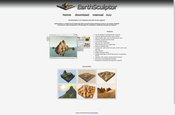
EarthSculptor is a professional-grade landscape design and terrain modeling application for Windows. With an intuitive interface and powerful editing tools, EarthSculptor enables landscape architects, civil engineers, game developers, and visualization specialists to create stunning 3D environments.Key features of EarthSculptor include:Import GIS data such as elevation models, aerial images, and vector...