Geomorph

Geomorph

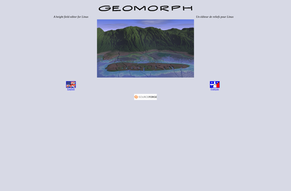
Geomorph is an open-source, browser-based software for spatial analysis and modeling of terrain. It allows users to visualize, analyze, and model elevation data sets to understand landform shapes and patterns.
Geomorph image
terrain-analysis geospatial-modeling elevation-data

Geomorph: Open-Source Terrain Analysis & Modeling

An open-source browser-based software for spatial analysis and modeling of terrain, allowing users to visualize, analyze, and model elevation data sets.

What is Geomorph?

Geomorph is an open-source, browser-based software tool for spatial analysis and modeling of digital elevation models (DEMs). It enables users to load in DEM data sets, visualize them in 2D and 3D, and perform a variety of terrain analysis techniques to quantify land surface processes and landform patterns.

Some key features and capabilities of Geomorph include:

  • Interactive 3D visualization of landscape topography
  • Contour mapping and hillshading raster layers
  • Specialized terrain indices for landform characterization (e.g. Topographic Position Index)
  • Spatial analysis tools for hydrology and geomorphology
  • Manual and automated landform classification
  • Scriptable workflow with Python programming interface
  • Export analysis results, maps, 3D scenes
  • Cross-platform web app requiring only a browser

Geomorph is well-suited for researchers, students, or professionals working with high-resolution topographic data. It facilitates both visualization for conceptual interpretation as well as quantitative land surface analysis. The open architecture encourages custom scripting and analysis methods as well. Geomorph represents a user-friendly, flexible option for topographic data analysis.

Geomorph Features

Features

  1. Visualize and explore elevation data
  2. Perform spatial analysis and modeling of terrain
  3. Generate shaded relief maps
  4. Calculate terrain attributes like slope, aspect, curvature etc
  5. Perform geomorphometric analysis
  6. Extract river networks
  7. Model erosion and deposition processes
  8. Browser-based so works across platforms
  9. Open-source and free

Pricing

  • Open Source

Pros

User-friendly graphical interface

Interactive data exploration

Powerful spatial analysis tools

Customizable workflows

Cross-platform accessibility

Free and open-source

Cons

Limited to working with terrain and elevation data

Steep learning curve for some advanced features

Need to import data from other sources

Lacks some advanced analysis tools of commercial GIS software


The Best Geomorph Alternatives

Top Science & Education and Geospatial and other similar apps like Geomorph


Bryce icon

Bryce

Bryce is a powerful 3D graphics program designed specifically for creating stunning natural 3D environments and landscapes. First released in 1994 by MetaCreations, Bryce allows users to import and edit 3D objects, apply realistic materials and textures, adjust lighting, and render high-quality images and animations.Some key features of Bryce include:Intuitive...
Bryce image
Terragen icon

Terragen

Terragen is a landscape and terrain generation software designed to create photo-realistic natural environments, terrains, and scenery. It uses advanced procedural algorithms and methods like fractal math to generate landscapes by simulating real-world terrain formation processes.Some key features and capabilities of Terragen include:Realistic terrain generation with control over details like...
Terragen image
World Machine icon

World Machine

World Machine is a powerful software specialized in procedural terrain and texture generation for 3D environments. It uses a flexible, non-destructive node-based workflow that allows users to apply realistic erosion effects, sculpt detailed terrains, blend procedural textures, and export high-quality heightmaps and normal maps.Some of the key features of World...
World Machine image
Gaea icon

Gaea

Gaea is an open-source procedural terrain generation tool designed for video game developers and 3D artists. It allows users to quickly generate realistic natural 3D environments complete with textures, foliage, rivers, roads and other landscape features.Some key features of Gaea include:Procedural generation of terrain heightmaps using erosion simulation and real-world...
Gaea image
Picogen icon

Picogen

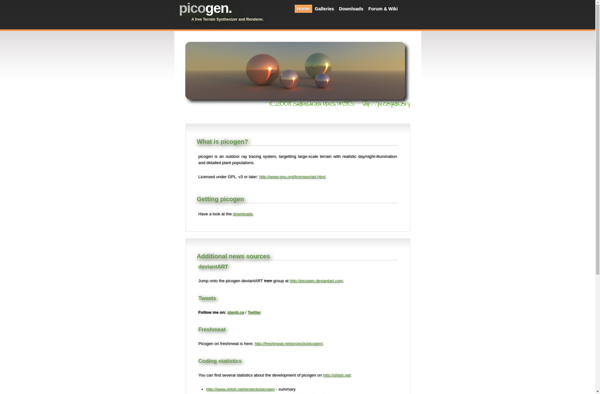
Picogen is an innovative image generation software that utilizes cutting-edge AI technology to convert text prompts into original images. It provides an intuitive interface where users can simply type a description of the image they wish to generate, and Picogen's advanced generative algorithms will create a high-quality image based on...
Picogen image
Graphite icon

Graphite

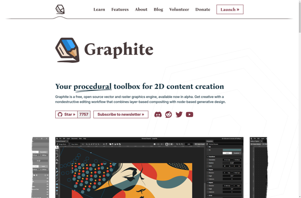
Graphite is a highly scalable real-time graphing system. It was originally designed by Chris Davis at Orbitz to monitor the company's production web applications. Graphite consists of three main software components:Carbon - a high-performance service that listens for time-series data. It provides reliable aggregation, storage, and retrieval of metrics.Whisper -...
Graphite image
TerraForge3D icon

TerraForge3D

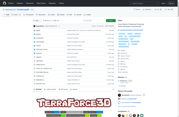
TerraForge3D is a powerful yet easy-to-use terrain generation and landscaping tool for creating stunning 3D environments. It utilizes advanced algorithms and techniques such as erosion simulation, hydrology analysis, and real-time editing to automatically generate realistic natural landscapes with mountains, valleys, rivers, forests, and more.Some key features of TerraForge3D:Intuitive user interface...
TerraForge3D image
VizTerra icon

VizTerra

VizTerra is a powerful yet easy-to-use 3D modeling and visualization platform designed specifically for architecture, engineering, and construction projects. It enables architecture, engineering and construction professionals to quickly transform 2D drawings and BIM models into interactive 3D environments in the cloud.Key features and capabilities of VizTerra include:Intuitive 3D modeling tools...
VizTerra image
PnP TerrainCreator icon

PnP TerrainCreator

PnP TerrainCreator is a powerful yet user-friendly program designed specifically for tabletop gaming terrain creation. With an intuitive interface and versatile toolset, it makes it easy for both novice and experienced users to sculpt stunning 3D battle maps.Some key features include:Custom brushes for raising, lowering, smoothing, and texturing terrainA material...
PnP TerrainCreator image
Acropora icon

Acropora

Acropora is an open-source software application designed to model and simulate coral reef environments. It allows users to create 3D virtual reef structures, populate them with realistic coral formations, fish species, and other marine life, and observe their development over time.Some key features of Acropora include:Procedural generation of reef terrain...
Acropora image
Visual Nature Studio icon

Visual Nature Studio

Visual Nature Studio is a powerful nature audio editor and soundscape generator for Windows. It provides an extensive library of high-quality nature recordings such as birds, mammals, insects, weather phenomena, and water sounds which users can combine to create customizable, immersive natural soundscapes.With its intuitive audio timeline interface, users can...
Visual Nature Studio image
L3DT icon

L3DT

L3DT (Large 3D Terrain Generator) is a advanced and powerful terrain creation and landscaping tool used to generate 3D landscapes and environments for games, simulations, visualizations, and more. Developed by Bundysoft, L3DT provides an extensive suite of terrain modeling, texturing, and visualization features.With an intuitive interface and workflow, L3DT enables...
L3DT image
Natural Scene Designer icon

Natural Scene Designer

Natural Scene Designer is professional-grade landscape and garden design software used by landscape architects and home garden enthusiasts to design and visualize outdoor living spaces. With an easy-to-use drag and drop interface, it enables users to create detailed 2D and 3D designs for gardens, backyards, courtyards, patios, decks, gazebos, walkways,...
Natural Scene Designer image
Outerra icon

Outerra

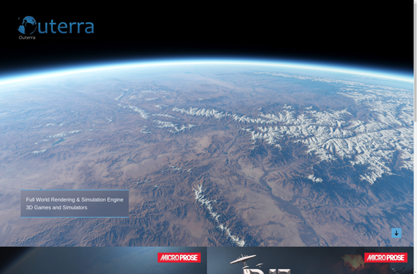
Outerra is an advanced 3D planetary rendering engine capable of seamlessly rendering entire planets from space down to ground level with unlimited level of detail. It uses novel rendering, terrain, and planetary surface generation technology to enable the real-time visualization of extremely large worlds.Some key features of Outerra include:Seamless multi-resolution...
Outerra image
VistaPro Renderer icon

VistaPro Renderer

VistaPro Renderer is a powerful 3D modeling and animation software specifically designed for architectural visualization. It comes packed with tools and features tailored for creating photorealistic renderings and animations of architectural models, building interiors and exteriors.Some of the key highlights of VistaPro Renderer include:Intuitive modeling tools for quickly creating architectural...
World Construction Set icon

World Construction Set

World Construction Set is a powerful 3D world building and map creation tool used by game developers, world builders, and creators to visually design highly detailed virtual worlds, landscapes, and environments. Developed by Elder Game, it provides an intuitive and customizable interface to sculpt stunning terrain, paint infinite textures, foliage,...
World Construction Set image
Graphite Renderer icon

Graphite Renderer

Graphite Renderer is a professional 3D computer graphics software application used for modeling, animation, simulation, rendering, and compositing. It is built specifically for character animation for film, TV, and games.Some of the key features of Graphite Renderer include:Powerful character rigging and animation tools like FK/IK switching, layerable control rigs, muscle...
Graphite Renderer image
GeoControl icon

GeoControl

GeoControl is a robust geolocation and asset tracking software solution for businesses. It allows you to track vehicles, equipment, and mobile workforces in real-time using GPS, cellular and satellite connectivity.Key features include:Real-time location tracking of assets on interactive mapsGeofencing and alerts for unauthorized asset useDetailed location history reporting and analyticsCustomizable...
GeoControl image
WorldBuilder icon

WorldBuilder

WorldBuilder is a powerful world generation and map making software designed specifically for fantasy writers, dungeon masters, and game masters. With an intuitive user interface and a wide range of customization options, WorldBuilder makes it easy to randomly generate detailed maps, continents, countries, cities, towns, non-player characters, factions, religions, histories,...
WorldBuilder image
DreamScape icon

DreamScape

DreamScape is a feature-rich digital painting and illustration application designed for artists of all skill levels. With its intuitive interface and innovative tools, DreamScape makes it easy to create stunning works of art.DreamScape comes packed with hundreds of customizable brushes including pencils, pens, charcoals, ink brushes, and more. It simulates...
DreamScape image
EarthSculptor icon

EarthSculptor

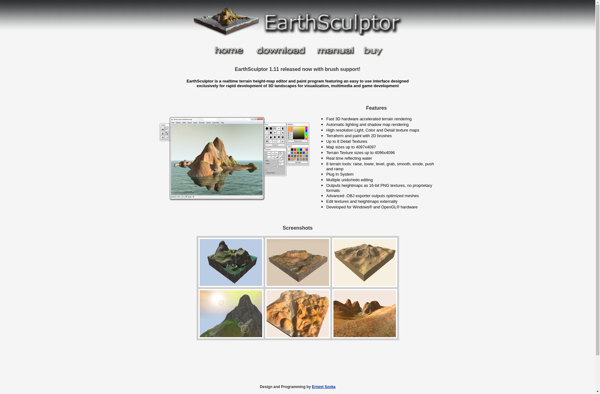
EarthSculptor is a professional-grade landscape design and terrain modeling application for Windows. With an intuitive interface and powerful editing tools, EarthSculptor enables landscape architects, civil engineers, game developers, and visualization specialists to create stunning 3D environments.Key features of EarthSculptor include:Import GIS data such as elevation models, aerial images, and vector...
EarthSculptor image
Grome icon

Grome

Grome is an open-source, cross-platform 3D computer graphics software application used for creating animated films, visual effects, art, 3D printed models, interactive 3D applications and video games. Grome provides an extensive suite of tools for the entire 3D pipeline including modeling, rigging, animation, simulation, rendering, compositing and motion tracking, as...
Grome image
Raiseland icon

Raiseland

Raiseland is a digital healthcare platform designed to help children with developmental delays such as autism spectrum disorder, Down syndrome, cerebral palsy, and other conditions. The platform provides tools and resources to assist with cognitive, speech, occupational, and physical therapies to improve life skills.A key feature of Raiseland is the...
Raiseland image