MapTiler

MapTiler: Open-sourceRaster Data Tile Generator
MapTiler is an open-source software used to slice large raster datasets into tilesets that can be viewed as map layers in web maps. It supports various raster formats and allows fast access and visualization of large geospatial datasets in web browsers.
What is MapTiler?
MapTiler is an open-source desktop application used to generate tilesets from large raster datasets like satellite imagery, aerial photos, relief maps, etc. It slices the source images into small 256x256 pixel map tiles optimized for web map viewing and seamlessly stitches them together into zoomable map layers.
Some key features of MapTiler include:
- Supports various popular geospatial raster formats - GeoTIFF, JPEG2000, MBTiles, etc.
- Generates tilesets in common web mapping standards like XYZ, TMS, WMTS
- Allows adding metadata like map bounds, attribution, etc.
- Optimizes tilesets for fast loading and caching in web maps
- Can upload generated tilesets to cloud hosts like AWS S3, Mapbox, etc. for web map delivery
- Provides both GUI and command line interface for automation
- Open-source software written in Python and C++
By preprocessing large imagery into tiles, MapTiler enables fast visualization of terabyte-sized geospatial data in any web maps like Google Maps, Leaflet, Mapbox GL JS, Cesium JS, etc. It is commonly used by GIS developers and businesses needing to show their large raster content as web map layers. The generated tilesets can be easily shared online or integrated into custom web mapping applications.
MapTiler Features
Features
- Converts large raster datasets into zoomable and streamable map tilesets
- Supports various raster formats including GeoTIFF, JPEG, PNG, MBTiles
- Generates tilesets optimized for web map viewing and streaming
- Built-in tile server for testing tilesets before publishing
- Command line interface and Python API for batch processing and automation
- Open-source software with active development community
Pricing
- Open Source
Pros
Cons
Official Links
Reviews & Ratings
Login to ReviewThe Best MapTiler Alternatives
Top Photos & Graphics and Image Processing and other similar apps like MapTiler
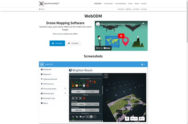
WebODM

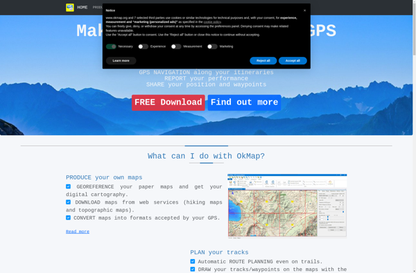
OkMap

Pixpro
