Pic2Map

Pic2Map: Interactive Map Creation from Imagess
A software that enables users to create interactive maps from images, identifying landmarks and points of interest in photos and generating clickable maps.
What is Pic2Map?
Pic2Map is an innovative software that takes photos as input and automatically generates interactive maps. It uses advanced computer vision technology to identify landmarks, text, and points of interest within images. These key points are then mapped out, allowing users to click on them to reveal more information.
Some key features of Pic2Map include:
- Generating maps from photos taken on mobile devices or digital cameras
- Identifying landmarks and text in images using AI and machine learning
- Creating clickable image maps with popups that display more details on points of interest
- Supporting multiple image formats including JPG, PNG, and more
- Outputting maps in common web formats like HTML image maps
- Offering batch mapping of large photo collections
- Retaining geo-location data from images if available
Pic2Map saves significant time and effort compared to manually identifying landmarks and creating maps. It enables anyone to leverage photos into interactive experiences on websites, presentations, scavenger hunts, travel blogs, and more. The software eliminates the need for graphic design or coding skills.
Pic2Map Features
Features
- Extracts points of interest from photos
- Generates interactive maps from images
- Identifies landmarks in photos
- Creates clickable image maps
- Allows adding custom POI markers
- Has automatic and manual POI detection modes
- Supports batch processing of multiple images
- Exports image maps in multiple formats
Pricing
- Freemium
Pros
Cons
Official Links
Reviews & Ratings
Login to ReviewThe Best Pic2Map Alternatives
Top Photos & Graphics and Image Editing and other similar apps like Pic2Map
Here are some alternatives to Pic2Map:
Suggest an alternative ❐Exiv2

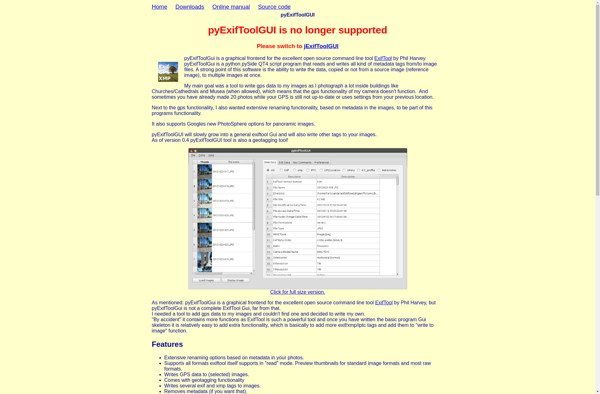
PyExifToolGUI
ExIf 35

Creevey

Exif4film

ExIf DSC
