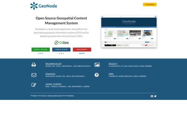
GeoNode
Description: GeoNode is an open source platform for sharing geospatial data and maps. It enables organizations and individuals to easily publish, share, find, visualize and download geospatial information. GeoNode makes it easy to build spatial data infrastructures and web mapping applications.
Type: software
Pricing: Open Source
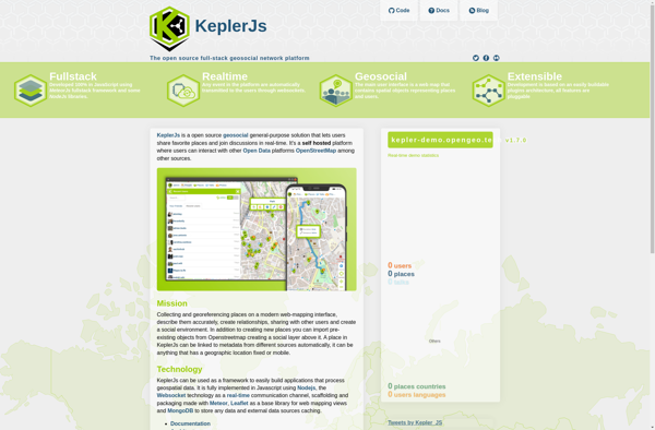
KeplerJs
Description: KeplerJs is an open-source web application framework for Node.js focused on scalability and high performance. It uses an architecture optimized for asynchronous request handling, making it well-suited for real-time web applications and APIs.
Type: software
Pricing: Open Source