OsmAnd
Description: OsmAnd is an open-source mobile map and navigation app for Android and iOS devices. It uses OpenStreetMap data and allows offline access to maps. Key features include turn-by-turn voice guided navigation, public transport routing, cycling and walking routing, Wikipedia integration, and more.
Type: software
Pricing: Open Source
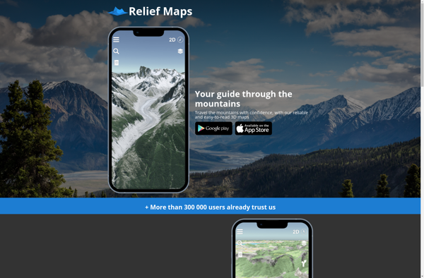
Relief Maps
Description: Relief Maps is a desktop software for creating 3D terrain maps and models from elevation data. It allows importing datasets and has tools to edit and visualize terrain, drape aerial images or maps over it, and export the maps to various 3D file formats.
Type: software