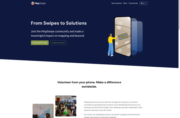
MapSwipe
Description: MapSwipe is a mobile app that allows volunteers to remotely map uncharted areas. Users swipe left or right on satellite imagery to label features like roads, buildings, and water.
Type: software
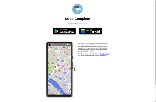
StreetComplete
Description: StreetComplete is an open source mobile app that allows users to easily report missing information in OpenStreetMap, such as adding street names, speed limits, building details, etc. It aims to make OpenStreetMap mapping more engaging by gamifying the process.
Type: software
Pricing: Open Source