MapSwipe
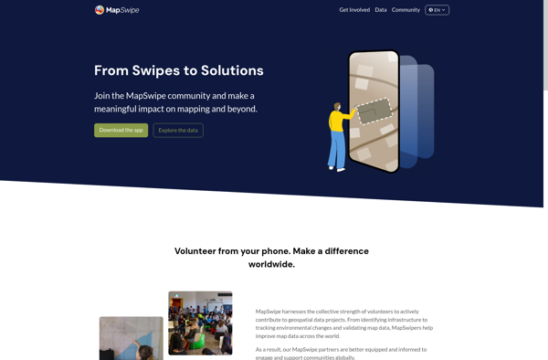
MapSwipe: Mobile Mapping App for Remote Fieldwork
A mobile app enabling volunteers to remotely map uncharted areas using satellite imagery, with swipe-based labeling features for roads, buildings, and water.
What is MapSwipe?
MapSwipe is a mobile application developed by the Humanitarian OpenStreetMap Team to allow volunteers to remotely map uncharted areas. The app presents users with satellite imagery divided into tiles, which they can quickly swipe left to label an area as containing noteworthy features like roads, buildings, and water, or swipe right to dismiss the tile if it contains no significant features.
By distributing the analysis of satellite imagery to a large network of volunteers, MapSwipe enables the rapid creation of baseline maps for crisis response, urban planning, and charting of informal settlements. The app prioritizes directing volunteer mappers to disaster-prone regions and developing nations where up-to-date maps are crucial but lacking. Analytic algorithms combine the individual swipe judgments to classify areas into categories like buildings, roads, cropland, and forest with high accuracy.
Since its release, over 100,000 volunteers have contributed analysis through MapSwipe, covering over 280,000 square kilometers across 43 countries and charting over 4 million buildings. The generated maps and data layers have been utilized by humanitarian organizations like Médecins Sans Frontières and the Sri Lankan Red Cross to more effectively coordinate disaster response and relief efforts.
MapSwipe Features
Features
- Allows volunteers to remotely map uncharted areas
- Users swipe left/right on satellite imagery to label features
- Can map roads, buildings, water, etc
Pricing
- Free
Pros
Cons
Official Links
Reviews & Ratings
Login to ReviewThe Best MapSwipe Alternatives
View all MapSwipe alternatives with detailed comparison →
Top Travel & Location and Mapping and other similar apps like MapSwipe
Zooniverse
StreetComplete