StreetComplete
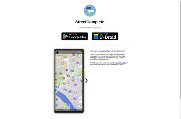
StreetComplete: Mobile App for OpenStreetMap
Discover StreetComplete, an open source mobile app that simplifies reporting on missing data in OpenStreetMap, making the mapping process more engaging through gamification.
What is StreetComplete?
StreetComplete is an open-source, privacy-friendly mobile application for Android and iOS that makes contributing missing information to OpenStreetMap fun and easy. It allows users to easily report missing map data while walking around, such as adding street names, speed limits, building details, pavement information, bicycle parking locations and more.
The app turns mapping into a game by awarding achievements and points for each type of data added. This gamification aspect makes the mapping process more engaging and enjoyable compared to traditional editors. StreetComplete uses your GPS location to find nearby roads and places where information is missing in OSM, and guides you through surveys to add this information with just a few taps.
All data collected is directly uploaded and saved to OpenStreetMap - the project's goal is to simplify the process of improving OSM mapping completeness. The app has a simple, user-friendly interface localized for dozens of languages. StreetComplete is open-source software built exclusively with OSM APIs and data, with a strong focus on privacy and offline map availability.
StreetComplete Features
Features
- Allows users to report missing map data
- Gamifies the mapping process
- Users can add street names, speed limits, building details, etc
- Works on mobile devices
- Uses OpenStreetMap data
Pricing
- Open Source
- Free
Pros
Cons
Official Links
Reviews & Ratings
Login to ReviewThe Best StreetComplete Alternatives
View all StreetComplete alternatives with detailed comparison →
Top Travel & Location and Mapping and other similar apps like StreetComplete
Here are some alternatives to StreetComplete:
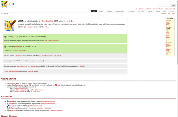
Suggest an alternative ❐JOSM
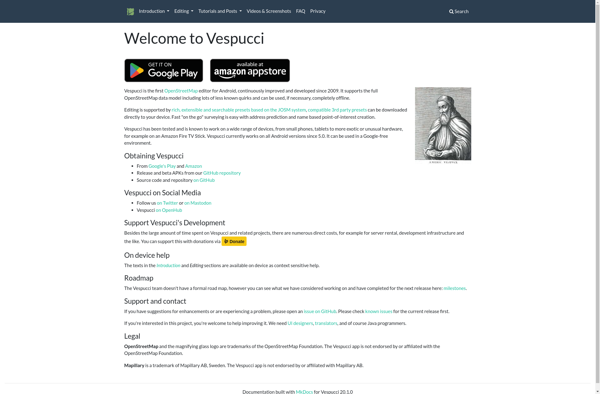
Vespucci
MapSwipe

Merkaartor

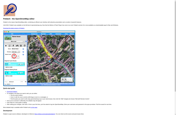
Potlatch