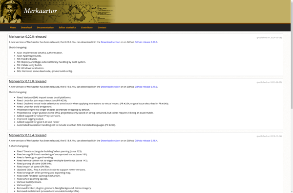
Merkaartor
Merkaartor: Open Source Editor for OpenStreetMap
Merkaartor is an open source editor for OpenStreetMap, allowing users to view, edit, and upload OpenStreetMap data. It provides tools for tracing satellite imagery and importing GPS tracks.
What is Merkaartor?
Merkaartor is a desktop application used to edit OpenStreetMap (OSM) map data. It is open source software licensed under the GNU General Public License.
Some key features of Merkaartor include:
- Importing GPS track logs to trace roads and pathways
- Tracing imagery from Bing and other aerial/satellite sources to map buildings, water bodies, etc.
- Advanced editing tools for nodes, ways, and relations in OSM
- Validating data to prevent errors before uploading changes
- Uploading local changes to the OpenStreetMap database
- Support for OpenStreetMap tags and data types
- Multi-language user interface
Merkaartor provides a user-friendly editor tailored for OpenStreetMap contributions. With strong digitizing and data validation functionality, it makes it easy for users to map areas in their local communities and enhance the detail of OpenStreetMap data.
The software runs on Windows, Mac OS X, and Linux platforms. An active community continues development and support of the project.
Merkaartor Features
Features
- Allows editing OpenStreetMap data
- Provides satellite imagery tracing tools
- Supports GPS track importing
- Has layer control for map data
- Supports OpenStreetMap tagging schema
- Has address and POI search tools
Pricing
- Open Source
Pros
Cons
Official Links
Reviews & Ratings
Login to ReviewThe Best Merkaartor Alternatives
View all Merkaartor alternatives with detailed comparison →
Top Travel & Location and Mapping and other similar apps like Merkaartor
Here are some alternatives to Merkaartor:
Suggest an alternative ❐Osmosis

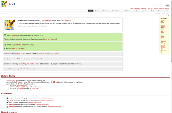
JOSM
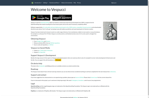
Vespucci
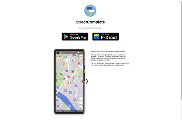
StreetComplete
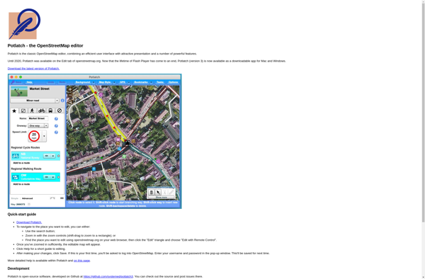
Potlatch