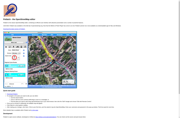
Potlatch
Potlatch: Free and Open-Source Web-Based Editor for OpenStreetMap
A crowdsourced mapping project's web-based editor for creating, editing, and manipulating geospatial data
What is Potlatch?
Potlatch is a free and open-source web-based editor for OpenStreetMap, a crowdsourced mapping project that aims to create a free, editable map of the world. Developed by the company Potlatch-Incorporated, Potlatch allows users to create, edit, and manipulate the geospatial data in OpenStreetMap without needing to install any software locally.
Using Potlatch, OpenStreetMap contributors can draw maps and enter or edit data about roads, trails, buildings, land use, points of interest, and more. Some of the editing features include adding or deleting nodes (points), ways (lines), and relations (groups of nodes and ways), tagging objects with attributes, merging overlapping segments, validating topology errors, uploading GPS traces, and adding imagery from Bing or MapBox as backgrounds.
As an in-browser editor, Potlatch is accessible to anyone with a web connection and easy for new mappers to get started with. Advanced users can also take advantage of keyboard shortcuts and power user tools to edit the map quickly. Since all edits are rendered into OpenStreetMap vectors and tiles, any changes made in Potlatch become live globally in minutes.
Potlatch Features
Features
- Edit OpenStreetMap data
- Add/modify roads, buildings, points of interest
- Integrated with OpenStreetMap
- Real-time preview of edits
- Undo/redo
- Keyboard shortcuts
- Tagging assistant
- Presets for common map features
Pricing
- Open Source
Pros
Cons
Official Links
Reviews & Ratings
Login to ReviewThe Best Potlatch Alternatives
View all Potlatch alternatives with detailed comparison →
Top News & Books and Maps & Navigation and other similar apps like Potlatch
Here are some alternatives to Potlatch:
Suggest an alternative ❐Osmosis

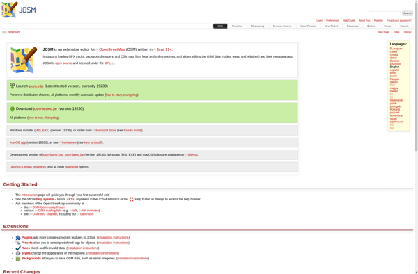
JOSM
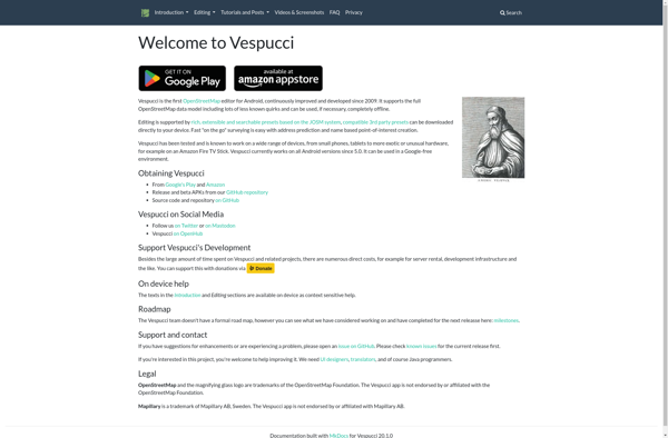
Vespucci
StreetComplete
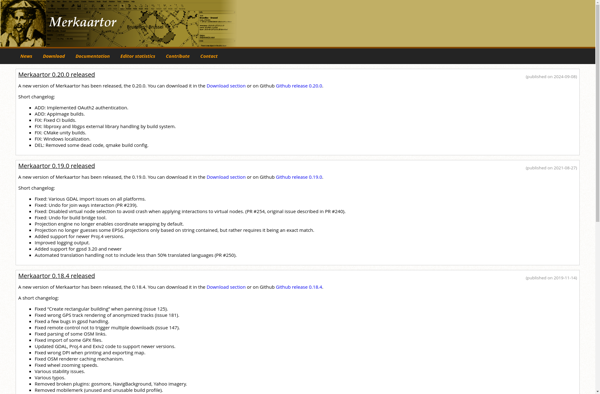
Merkaartor