Bing Maps 3D
Description: Bing Maps 3D is a 3D mapping platform from Microsoft that provides interactive maps and location intelligence services. It allows developers to incorporate 3D maps into websites and applications with support for custom styling, search, routing, and traffic data.
Type: software
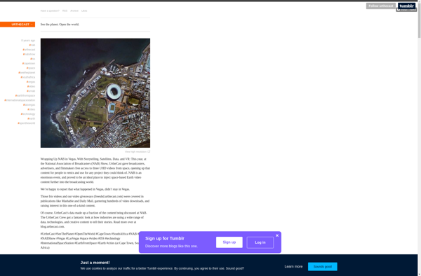
Urthecast
Description: Urthecast is a geospatial data company that provides high-resolution Earth imagery and geospatial data by leveraging its Earth Observation (EO) sensors and services in space. Its software and API offer real-time data feeds for the analysis of real world change.
Type: software