Flash Earth
Description: Flash Earth is an interactive 3D globe that uses satellite imagery and aerial photography to allow users to visually explore the Earth. It offers seamless, zoomable maps and terrain for easy navigation.
Type: software
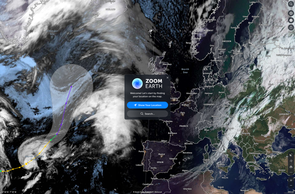
Zoom Earth
Description: Zoom Earth is an interactive real-time map of the Earth that uses satellite imagery and other data to let users zoom in from space all the way to street level. Users can track storms, wildfires, weather patterns, city landscapes, and more by panning and zooming around the globe.
Type: software