Geotagger
Geotagger: Free Open Source Photo Location Data Software
Geotagger is a free, open source software used to add location data to photos. It allows you to view and edit the GPS coordinates, altitude, and compass direction associated with your images.
What is Geotagger?
Geotagger is a free, open source application used to add geographic location metadata to images. It provides an easy way to view, edit, and add GPS coordinates, altitude, compass bearing, and other geospatial details to your photos.
The software has a simple, intuitive interface that allows you to drag-and-drop images for geotagging. You can view maps and satellite imagery to precisely pinpoint locations. Geotagger saves location data directly into standard EXIF and XMP metadata formats for compatibility with other software and services.
Key features include:
- Add GPS coordinates to JPG, TIFF images
- View location on interactive maps
- Edit altitude, compass direction (bearing)
- Geotag using GPS track log files
- Open source software works on Windows, Mac, Linux
Geotagger is useful for geographers, scientists, photographers, or anyone who wants to embed location details directly within their images. Its simple tools help match photos to places on a map for effective geotagging.
Geotagger Features
Features
- Adds GPS location data to images
- Allows viewing and editing of GPS coordinates, altitude, and compass direction
- Works with JPEG, TIFF, PNG, and other common image formats
- Supports drag-and-drop for adding location data to multiple images
- Has batch geotagging capability
- Integrates with Google Maps to show tagged photo locations
- Open source and cross-platform (Windows, Mac, Linux)
Pricing
- Free
- Open Source
Pros
Cons
Reviews & Ratings
Login to ReviewThe Best Geotagger Alternatives
Top Photos & Graphics and Photo Editing and other similar apps like Geotagger
Here are some alternatives to Geotagger:
Suggest an alternative ❐GPS Map Camera: Geotag Photos
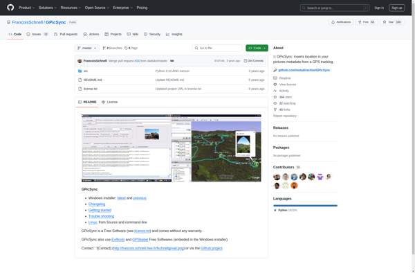
GPicSync
PhotoPlace
Photogpseditor
