GPS Map Camera: Geotag Photos
GPS Map Camera: Geotag Photos

GPS Map Camera is an app that allows you to geotag your photos by recording GPS tracks and then matching the timestamp of the photos to the track points. It provides an easy way to embed location data into your images.
GPS Map Camera: Geotag Photos image
geotag gps photos location mapping travel

GPS Map Camera: Geotag Photos

An app that allows you to geotag your photos by recording GPS tracks and then matching the timestamp of the photos to the track points, providing an easy way to embed location data into your images.

What is GPS Map Camera: Geotag Photos?

GPS Map Camera is a useful app for any photographer who wants to geotag their images. It works by recording a GPS track log while you are taking photos. Then later you can match up the time when each photo was taken with the corresponding coordinate from the GPS track.

To use it, you simply open the app before you start shooting. It will begin logging your GPS location. If you move to a new spot, it will track that movement. Whenever you take a photo, the app records the time. Later when you import your photos, GPS Map Camera will analyze the timestamp of each image and compare it to the timestamps in the GPS log to identify where you were. It will write the GPS coordinates into the metadata of the photo.

This makes it much easier to geotag images compared to doing it manually. And it ensures accurate location data since it uses the precise GPS coordinates captured in real-time rather than trying to pinpoint a location later using a map. This metadata allows your photos to be automatically mapped by other apps and services.

Advanced features include the ability to import and export GPS tracks, set map preferences, and filter photos by location. It provides stats on your sessions like distance traveled. An ideal solution for any travel, nature or landscape photographer who wants to embed rich geospatial data into their images.

GPS Map Camera: Geotag Photos Features

Features

  1. Geotag photos with GPS coordinates
  2. Record GPS tracks and match photo timestamps to track points
  3. Embed location data into images
  4. View photos on a map
  5. Share geotagged photos on social media

Pricing

  • Free
  • Freemium

Pros

Easy to use interface

Accurate GPS tagging

Ability to view photos on a map

Seamless integration with social media

Cons

Requires GPS access on the device

Drains battery life when recording GPS tracks

Limited editing options for geotagged photos


The Best GPS Map Camera: Geotag Photos Alternatives

Top Travel & Location and Photo Geotagging and other similar apps like GPS Map Camera: Geotag Photos

Here are some alternatives to GPS Map Camera: Geotag Photos:

Suggest an alternative ❐

Geosetter icon

Geosetter

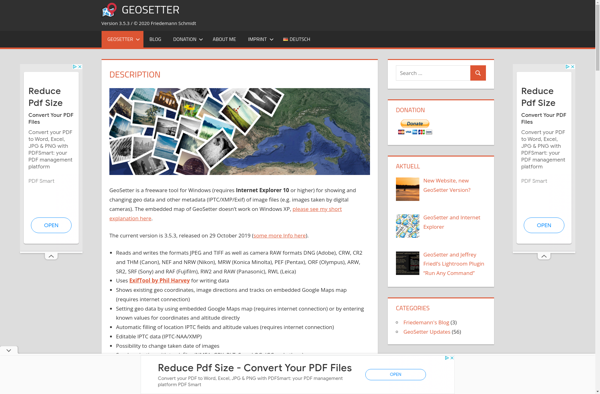
Geosetter is a free, cross-platform application used for organizing and geotagging images using their geographic coordinates and other metadata. It has an intuitive interface that allows users to:Import photos from various devices like cameras or phones and read their existing metadataView photos geo-positioned correctly on an integrated map for easy...
Geosetter image
Houdahgeo icon

Houdahgeo

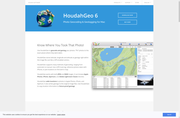
HoudahGeo is a feature-rich GPS geocoding application designed for Mac users to easily geotag and organize their photo library. It provides a comprehensive set of tools to tag photos with GPS coordinates and location names by matching them to GPS track logs recorded by cameras, smartphones or handheld GPS devices.Some...
Houdahgeo image
GPSPhotoLinker icon

GPSPhotoLinker

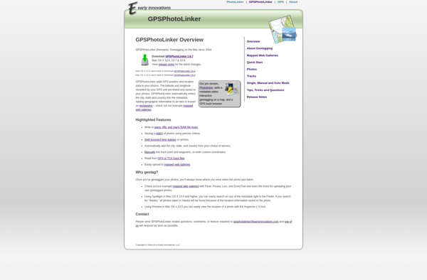
GPSPhotoLinker is a standalone Windows application used to geotag photos by matching them to GPS log data from a separate device like a handheld GPS or smartphone. It allows photographers to embed location information into their image metadata for organizational purposes and mapping.To use GPSPhotoLinker, you first record a GPS...
GPSPhotoLinker image
Geotag Photos Pro icon

Geotag Photos Pro

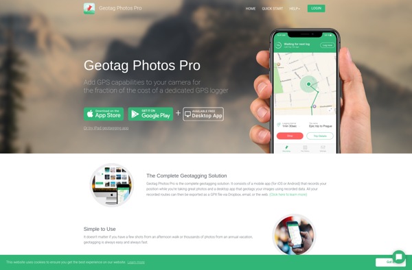
Geotag Photos Pro is a robust yet easy-to-use photo geotagging application for Windows. It enables photographers to automatically tag their images with geographic location metadata by matching time and date stamps from photos with GPS log data from external devices such as handheld GPS units or smartphones.Key features include:Clean and...
Geotag Photos Pro image
Geotagger icon

Geotagger

Geotagger is a free, open source application used to add geographic location metadata to images. It provides an easy way to view, edit, and add GPS coordinates, altitude, compass bearing, and other geospatial details to your photos.The software has a simple, intuitive interface that allows you to drag-and-drop images for...
Geotagger image
PhotoPlace icon

PhotoPlace

PhotoPlace is a user-friendly photo management and editing application for Windows and Mac. It helps you organize, edit, and share your growing photo collection more easily.Key features of PhotoPlace include:Facial recognition and tagging to automatically group people in your photo libraryBatch editing tools like cropping, exposure, color correction, and more...
PhotoPlace image
Photogpseditor icon

Photogpseditor

Photogpseditor is a powerful yet easy-to-use photo editing software suitable for beginners and professionals alike. It is an open-source alternative to premium software like Adobe Photoshop.Key features include:Support for layers and masks for non-destructive editingHundreds of professional filters, effects and adjustment toolsAdvanced selection, retouching and transformation toolsSupport for major graphics...
Photogpseditor image