Geotag Photos Pro

Geotag Photos Pro

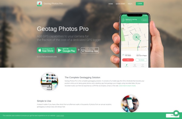
Geotag Photos Pro is a photo geotagging software that allows you to add location data to your images. It has a clean interface and supports batch geotagging large numbers of photos automatically based on GPS log data from external devices.
Geotag Photos Pro image
geotagging gps metadata batch-processing

Geotag Photos Pro: Photo Geotagging Software

Photo geotagging software for adding location data to images, supports batch geotagging and GPS log data from external devices, clean interface.

What is Geotag Photos Pro?

Geotag Photos Pro is a robust yet easy-to-use photo geotagging application for Windows. It enables photographers to automatically tag their images with geographic location metadata by matching time and date stamps from photos with GPS log data from external devices such as handheld GPS units or smartphones.

Key features include:

  • Clean and intuitive interface for streamlined workflow
  • Ability to geotag JPG and RAW photo formats
  • Support for GPS log data in GPX, NMEA, KML, and other formats
  • Option to manually tag photos by pointing to locations on a map
  • Batch geotagging for efficient processing of large photo collections
  • Export tagged photos while preserving all EXIF metadata
  • OSM, Bing, and other basemap display for easy geotag confirmation

Geotag Photos Pro makes adding rich geographic context to images easy for photographers of all levels. Its versatility in handling diverse photo and GPS data formats cuts down on geotagging complexity. The batch processing and mapping capabilities are invaluable for anyone dealing with a heavy volume of untagged images.

Geotag Photos Pro Features

Features

  1. Clean and intuitive interface
  2. Supports batch geotagging of large photo collections
  3. Geotags photos using GPS log data from external devices like cameras and smartphones
  4. Allows manual geotagging by searching and mapping locations
  5. Works with major image formats like JPG, RAW, TIFF
  6. Geotagging options like assigning by timestamp, nearest location, etc.
  7. Supports GPX, NMEA, KML, IGC and other GPS log formats
  8. Geotags images with latitude, longitude and elevation data
  9. Retains original metadata and updates only geotags
  10. Option to export geotagged photos to Google Maps
  11. Works on Windows, Mac and Linux

Pricing

  • One-time Purchase

Pros

Accurate and fast batch geotagging

Supports many GPS log formats

Easy to use interface

Geotags photos while retaining original metadata

Cross-platform support

Cons

No mobile app version

Limited export options

Requires GPS log data for automatic geotagging


The Best Geotag Photos Pro Alternatives

Top Photos & Graphics and Photo Editing and other similar apps like Geotag Photos Pro


Geosetter icon

Geosetter

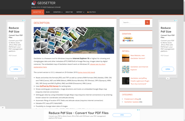
Geosetter is a free, cross-platform application used for organizing and geotagging images using their geographic coordinates and other metadata. It has an intuitive interface that allows users to:Import photos from various devices like cameras or phones and read their existing metadataView photos geo-positioned correctly on an integrated map for easy...
Geosetter image
Photo Route icon

Photo Route

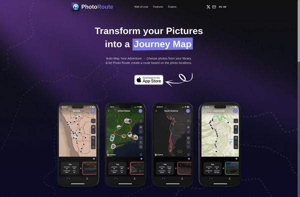
Photo Route is a photo organization and management software application designed for Windows. It provides a range of tools to help users organize, edit, and share their personal photo collections.One of the key features of Photo Route is the ability to tag and rate photos. Users can create custom tags...
Photo Route image
GeoPhoto icon

GeoPhoto

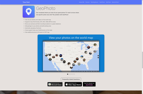
GeoPhoto is a photo organization and management application designed specifically for geotagged photos. It allows users to upload photos from their devices, tag them with GPS coordinates or location names, and then view and browse those photos on a map interface.Once photos are uploaded to GeoPhoto, the software extracts any...
GeoPhoto image
GPS Map Camera: Geotag Photos icon

GPS Map Camera: Geotag Photos

GPS Map Camera is a useful app for any photographer who wants to geotag their images. It works by recording a GPS track log while you are taking photos. Then later you can match up the time when each photo was taken with the corresponding coordinate from the GPS track.To...
GPS Map Camera: Geotag Photos image
Houdahgeo icon

Houdahgeo

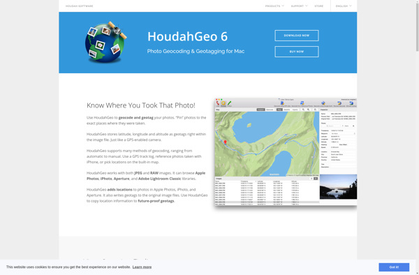
HoudahGeo is a feature-rich GPS geocoding application designed for Mac users to easily geotag and organize their photo library. It provides a comprehensive set of tools to tag photos with GPS coordinates and location names by matching them to GPS track logs recorded by cameras, smartphones or handheld GPS devices.Some...
Houdahgeo image
GPSPhotoLinker icon

GPSPhotoLinker

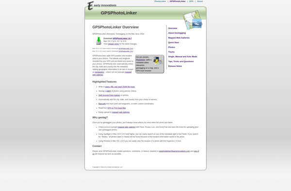
GPSPhotoLinker is a standalone Windows application used to geotag photos by matching them to GPS log data from a separate device like a handheld GPS or smartphone. It allows photographers to embed location information into their image metadata for organizational purposes and mapping.To use GPSPhotoLinker, you first record a GPS...
GPSPhotoLinker image
GeoTag for macOS icon

GeoTag for macOS

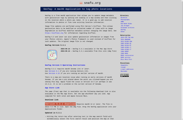
GeoTag is a free and open source photo metadata viewer and editor for macOS. It enables you to view and edit geotags (location data) as well other metadata like EXIF and IPTC attached to your images.Key features include:View and edit location data like latitude, longitude, and altitudeAdd geotags to photos...
GeoTag for macOS image