Houdahgeo

Houdahgeo

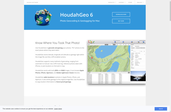
HoudahGeo is a GPS geocoding software for Mac that allows users to tag and organize photos by location. It can geotag images using GPS track logs and provides advanced geo-related EXIF data management tools.
Houdahgeo image
geotagging gps exif photo-management

HoudahGeo: GPS Geocoding Software for Mac

Tag and organize photos by location, geotag images using GPS track logs, and manage advanced geo-related EXIF data with HoudahGeo, a powerful GPS geocoding software for Mac.

What is Houdahgeo?

HoudahGeo is a feature-rich GPS geocoding application designed for Mac users to easily geotag and organize their photo library. It provides a comprehensive set of tools to tag photos with GPS coordinates and location names by matching them to GPS track logs recorded by cameras, smartphones or handheld GPS devices.

Some key features of HoudahGeo include:

  • Drag & drop support to geo-reference images via GPS track logs.
  • Advanced GPX track log management tools like trimming, filtering, smoothing and correction.
  • Powerful geo-related EXIF editing functionality to modify coordinates, elevations, headings and place names.
  • Geocoding to auto-tag photos with street addresses, intersections and landmarks.
  • Interactive maps to visually browse and geo-tag pictures.
  • Export options to write geo data to files or external EXIF metadata editors.
  • Apple Photos integration to directly geotag photos stored in Apple's Photos app.

With its intuitive interface, flexible workflows and comprehensive EXIF data handling capabilities, HoudahGeo is an excellent choice for Mac users looking to efficiently organize and map their photo collection by location metadata.

Houdahgeo Features

Features

  1. Geotag photos using GPS track logs
  2. Advanced EXIF data management tools
  3. Tag photos with location names and coordinates
  4. Organize photos by location
  5. View and edit geotagging information
  6. Support for GPX, KML, NMEA formats
  7. Geotagging queue for batch processing
  8. Map view to visualize photo locations
  9. Export geotagged photos

Pricing

  • One-time Purchase

Pros

Intuitive user interface

Powerful geotagging capabilities

Good performance with large photo libraries

Helpful for travelers and photographers

Integrates well with Apple Photos

Cons

Mac only, no Windows or mobile version

Steep learning curve

Can be slow with huge photo libraries

Limited export options for geotagged photos


The Best Houdahgeo Alternatives

Top Photos & Graphics and Photo Organization & Editing and other similar apps like Houdahgeo


Geosetter icon

Geosetter

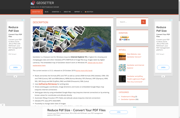
Geosetter is a free, cross-platform application used for organizing and geotagging images using their geographic coordinates and other metadata. It has an intuitive interface that allows users to:Import photos from various devices like cameras or phones and read their existing metadataView photos geo-positioned correctly on an integrated map for easy...
Geosetter image
Photo Route icon

Photo Route

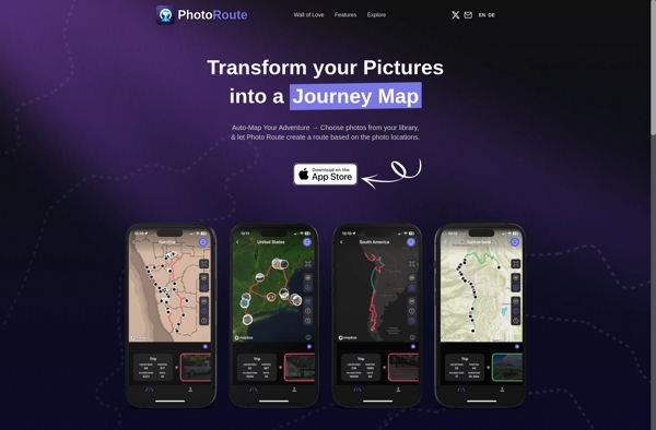
Photo Route is a photo organization and management software application designed for Windows. It provides a range of tools to help users organize, edit, and share their personal photo collections.One of the key features of Photo Route is the ability to tag and rate photos. Users can create custom tags...
Photo Route image
GeoPhoto icon

GeoPhoto

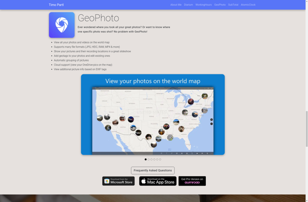
GeoPhoto is a photo organization and management application designed specifically for geotagged photos. It allows users to upload photos from their devices, tag them with GPS coordinates or location names, and then view and browse those photos on a map interface.Once photos are uploaded to GeoPhoto, the software extracts any...
GeoPhoto image
GPS Map Camera: Geotag Photos icon

GPS Map Camera: Geotag Photos

GPS Map Camera is a useful app for any photographer who wants to geotag their images. It works by recording a GPS track log while you are taking photos. Then later you can match up the time when each photo was taken with the corresponding coordinate from the GPS track.To...
GPS Map Camera: Geotag Photos image
Pictomio icon

Pictomio

Pictomio is an easy-to-use graphic design and image editing application suitable for beginners and professionals alike. With an intuitive drag-and-drop user interface, Pictomio makes creating designs, editing photos, and modifying images accessible to everyone.Despite its simple interface, Pictomio is packed with powerful features. It comes with numerous built-in design templates...
Pictomio image
Geotag Photos Pro icon

Geotag Photos Pro

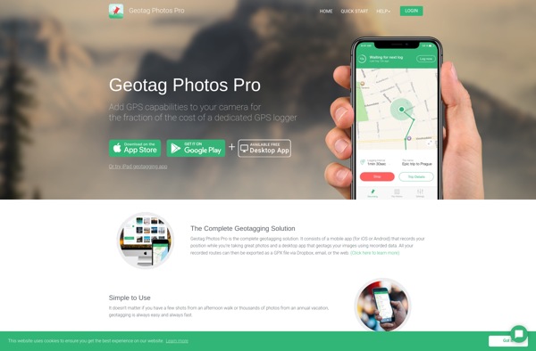
Geotag Photos Pro is a robust yet easy-to-use photo geotagging application for Windows. It enables photographers to automatically tag their images with geographic location metadata by matching time and date stamps from photos with GPS log data from external devices such as handheld GPS units or smartphones.Key features include:Clean and...
Geotag Photos Pro image
GeoTag for macOS icon

GeoTag for macOS

GeoTag is a free and open source photo metadata viewer and editor for macOS. It enables you to view and edit geotags (location data) as well other metadata like EXIF and IPTC attached to your images.Key features include:View and edit location data like latitude, longitude, and altitudeAdd geotags to photos...
GeoTag for macOS image