GeoPhoto
GeoPhoto: Photo Organization and Sharing Applications
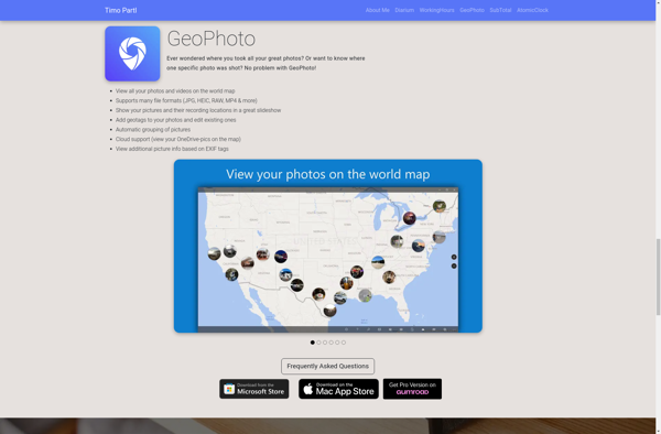
GeoPhoto is a photo organization and sharing application that allows users to tag photos with location data and view them on a map. It has features for uploading, tagging, browsing, searching, and sharing geotagged photos.
What is GeoPhoto?
GeoPhoto is a photo organization and management application designed specifically for geotagged photos. It allows users to upload photos from their devices, tag them with GPS coordinates or location names, and then view and browse those photos on a map interface.
Once photos are uploaded to GeoPhoto, the software extracts any existing geotags from the photo metadata. Users can also manually tag photos by searching for a location or dropping a pin on the map. The photos are then displayed as thumbnail icons on the map in their tagged locations.
GeoPhoto provides extensive tools for organizing, searching, and filtering photo collections based on location, date, name, or other attributes. Users can create albums, favorite photos, or flag images for follow up. The software also includes options for printing photos with location captions as well as sharing them publicly or with specific individuals.
Some key features of GeoPhoto include:
- Interactive map interface to view and browse geotagged photos
- Uploading and manual tagging tools for adding location data
- Powerful search and filters for finding photos by location, date, attributes etc.
- Photo editing and annotation capabilities
- Album management, favorites, and flags for organizing your collection
- Share photos via public links, email, or social media integration
- Print photos with customizable location captions
With its focus on geo-organization and integration with interactive maps, GeoPhoto is ideal for travelers, photographers, geoscience field workers, or anyone working with large collections of geotagged images.
GeoPhoto Features
Features
- Upload photos and tag them with GPS location data
- View photos on a map based on geotags
- Organize photos into albums and share albums with others
- Search for photos by location
- Supports major photo formats like JPG, PNG, RAW
- Available as mobile app and desktop app
Pricing
- Freemium
Pros
Cons
Official Links
Reviews & Ratings
Login to ReviewThe Best GeoPhoto Alternatives
Top Photos & Graphics and Photo Organization and other similar apps like GeoPhoto
Here are some alternatives to GeoPhoto:
Suggest an alternative ❐Geosetter
Photo Route
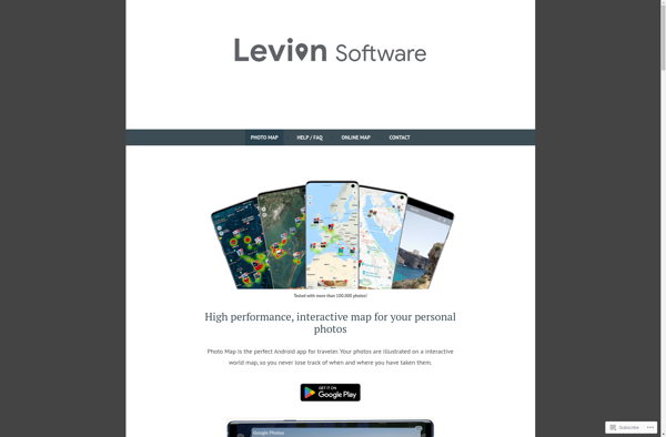
Photo Map
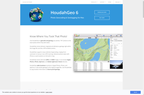
Houdahgeo
RoboGEO
Pictomio

GPSPhotoLinker
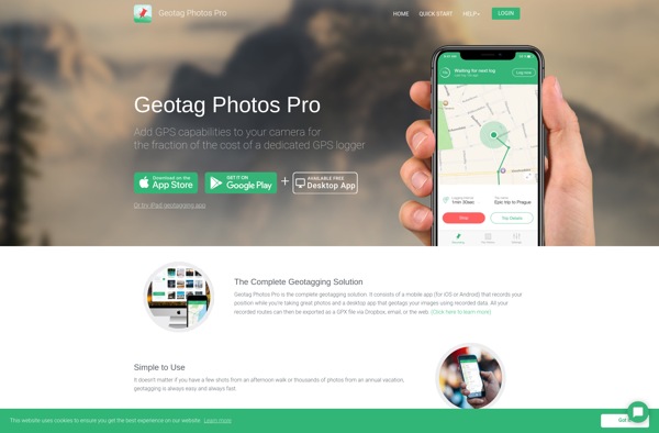
Geotag Photos Pro
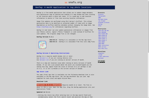
GeoTag for macOS
GeoTagEd
MyPhotoMap
PhotoMap Gallery - Photos, Videos and Trips
