Photo Map
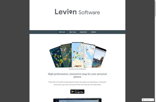
Photo Map: Map Photos by Location
Photo Map allows users to map, organize and share their photos based on location, utilizing geotag information for easy geographical browsing of past trips with 2 million mapped locations.
What is Photo Map?
Photo Map is a photo organization and sharing tool with a map-centric focus. It utilizes the geotags embedded in images to place photos in their geographic locations on an interactive world map.
Once photos are imported, users can browse images by location by clicking and zooming around the map interface. Photo Map draws from a database of over 2 million mapped locations to plot images in their captured positions. Beyond basic mapping, it has robust features to filter, search and explore photos based on geographic data.
Some key features of Photo Map include:
- Interactive world map to view photos based on capture location
- Support for geotagged JPGs and ways to add location info to non-geotagged images
- Map search and location browsing to discover images from past trips
- Tagging, captions and albums to organize your photo collection
- Share collections, trip albums or individual images via link or social media
- Create stories by curating photos from multiple trips into guided tour-style presentations
- User profile and activity streams to follow other users and track views of your shared photos
- Slideshow mode with customizable transitions and display options
- Available as a desktop app and mobile app for iOS and Android devices
Overall, Photo Map leverages the location information within images to provide engaging ways to map, organize, share and browse through personal photo libraries based on geotagged data.
Photo Map Features
Features
- Map photos based on location using geotag information
- Organize and browse photos from past trips
- Search, filter, and explore images geographically
- Share photos with others
- Around 2 million locations mapped
Pricing
- Freemium
- Subscription-Based
Pros
Cons
Official Links
Reviews & Ratings
Login to ReviewThe Best Photo Map Alternatives
Top Photos & Graphics and Photo Organization and other similar apps like Photo Map
Here are some alternatives to Photo Map:
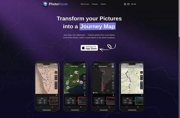
Suggest an alternative ❐Photo Route
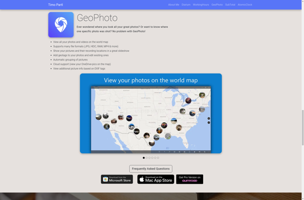
GeoPhoto
MyPhotoMap
PhotoMap Gallery - Photos, Videos and Trips
