MyPhotoMap
myPhotoMap: Map Photos from Travels
A free, open-source mapping software allowing users to create interactive maps with images and descriptions, enabling browsing of locations, zooming in on points of interest and clicking photos for more details.
What is MyPhotoMap?
myPhotoMap is a free, open-source web application that provides similar functionality to TravelMap for mapping personal travel photos. With myPhotoMap, users can upload images from trips and vacations, geotag them to locations on a map, add descriptions and details, and browse the interactive map to rediscover memories.
Some key features of myPhotoMap include:
- Intuitive interface for uploading photos and pinning them to accurate geographic locations
- Interactive map with zoom and pan capabilities to explore images geographically
- Photo pop-ups that are revealed when clicking location pins, allowing users to showcase favorite images
- Ability to add captions, date information, and additional details to pinned photographs
- User profiles for organizing one's collection of travel images
- Search tool to easily find mapped photos by location name or description tags
- Share functionality to send links to your custom travel map via email or social media
As an open-source platform, myPhotoMap benefits from continual improvements by developers around the world. And because it's entirely free, it makes for an excellent alternative for mapping travel photos without the subscription fees of TravelMap.
MyPhotoMap Features
Features
- Interactive map to map photos from travels
- Add images and descriptions to points on the map
- Browse locations and zoom in on points of interest
- Click on photos to see more details
Pricing
- Open Source
Pros
Cons
Official Links
Reviews & Ratings
Login to ReviewThe Best MyPhotoMap Alternatives
Top Photos & Graphics and Photo Organization and other similar apps like MyPhotoMap
Here are some alternatives to MyPhotoMap:
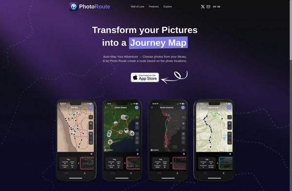
Suggest an alternative ❐Photo Route
GeoPhoto
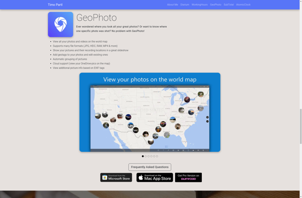
Photo Map
PhotoMap Gallery - Photos, Videos and Trips
