RoboGEO
RoboGEO: Free Geospatial Data Visualization & Analysis
A free software solution for geospatial data visualization, analysis, and processing, allowing users to view, process, and analyze geospatial vector and raster data from various sources.
What is RoboGEO?
RoboGEO is an open-source desktop application for geospatial data visualization, editing, analysis and processing. It is designed to handle various types of vector (shape files, KML, GeoJSON etc.) and raster geospatial data.
With RoboGEO, users can view, explore and query 2D or 3D maps loaded from GIS datasets. It supports display of different data layers, labels, scale bars, north arrows as well as provides basic GIS functionalities like zooming, panning, querying, measuring distances/areas, printing maps etc.
For geospatial data editing, RoboGEO comes with digitizing tools like node editing, cutting/joining polylines, auto tracing rasters etc. Advanced analysis functions like buffer generation, unions, clipping, spatial queries are also possible.
Key features include:
- 2D & 3D display of geospatial data
- Exploration tools like zoom, pan, identify
- GIS editing - node, vertex, auto trace
- Powerful geospatial analysis
- Support for 30+ data formats
- Export maps, data to various formats
- Compatible with Windows, Mac & Linux
With its easy-to-use interface and capabilities to handle wide variety of data sources, RoboGEO serves as a handy desktop GIS software suitable for mapping agencies, research organizations as well as GIS professionals and students.
RoboGEO Features
Features
- 2D and 3D map display
- Editing vector data
- Geoprocessing tools
- Querying and measuring
- Import/export data
- Charting and reporting
Pricing
- Open Source
Pros
Cons
Official Links
Reviews & Ratings
Login to ReviewThe Best RoboGEO Alternatives
Top Education & Reference and Geospatial Software and other similar apps like RoboGEO
Here are some alternatives to RoboGEO:
Suggest an alternative ❐Geosetter
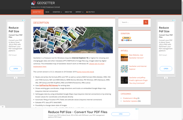
Photo Route
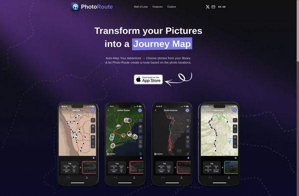
GeoPhoto
GPSPhotoLinker
GeoTag for macOS
