PyMapper
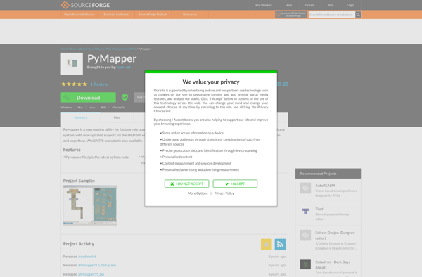
PyMapper: Open-Source Interactive Map & Data Visualization Tool
PyMapper is an open-source Python application for creating interactive maps and data visualizations, allowing users to visualize spatial data sets, overlay multiple data layers, customize maps, and share online.
What is PyMapper?
PyMapper is an open-source Python library and application for creating interactive maps and spatial data visualizations. Developed in Python using tools like Matplotlib, Cartopy, GeoPandas, and Dash, PyMapper provides a flexible framework for visualizing geospatial data sets.
Some key features of PyMapper include:
- Interactive panning, zooming, and hovering over maps
- Overlaying multiple map layers (tile layers, geo-referenced rasters, vector data, etc.)
- Performing spatial analysis and mapping operations on geographical data sets
- Easily style and customize maps with different color scales, legends, labels, etc.
- Create choropleth maps, graduated symbol maps, heat maps, and more
- Annotate locations with points, lines, polygons, popups, and more
- Share and export interactive map apps and dashboards online
PyMapper makes it easy for Python developers and analysts to create rich, interactive geospatial data visualizations for the web without needing advanced GIS or web development skills. It bridges popular Python data science libraries with tools for building map apps and dashboards.
PyMapper Features
Features
- Import and visualize spatial data sets
- Overlay multiple data layers on a map
- Customize map styles and icons
- Create choropleth maps
- Annotate maps with text labels
- Export maps as image files or HTML
- Share interactive maps online
Pricing
- Open Source
Pros
Cons
Official Links
Reviews & Ratings
Login to ReviewThe Best PyMapper Alternatives
Top Development and Data Visualization and other similar apps like PyMapper
Here are some alternatives to PyMapper:
Suggest an alternative ❐Dungeondraft

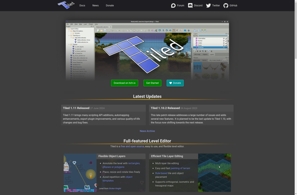
Tiled Map Editor
Dundjinni
Dungeon Tile Mapper

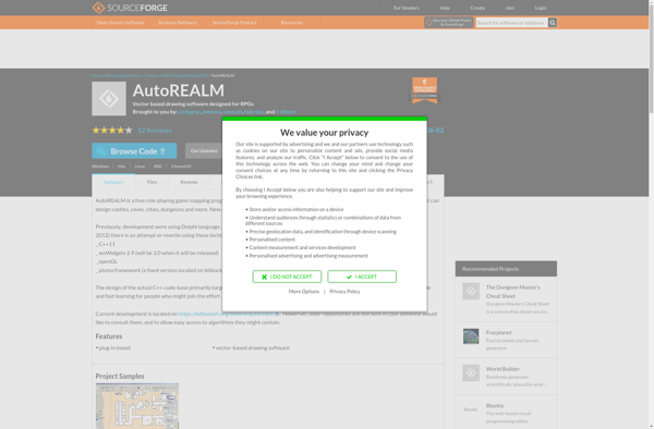
AutoREALM
Campaign Cartographer
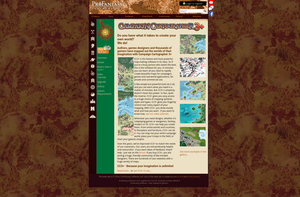
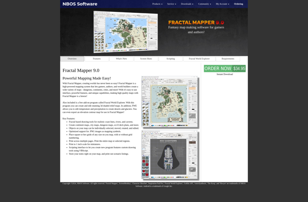
Fractal Mapper
MapForge
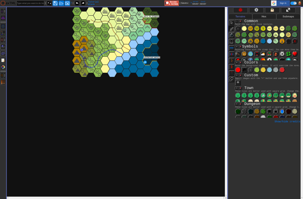
Hextml
LDtk

Tiamat

OGMO Editor

DUNGEONFOG

Tilesetter

TuDee
Deadly Alien Map Editor (DAME)
